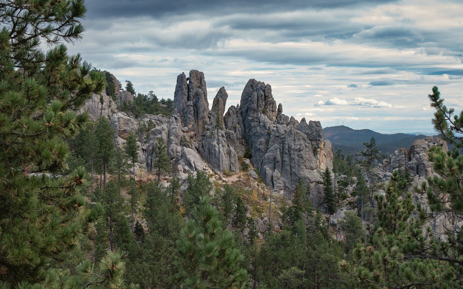
The Black Hills
The Granite Core
Why the Black Hills are an island of rock in a sea of grass, and what that means underfoot.
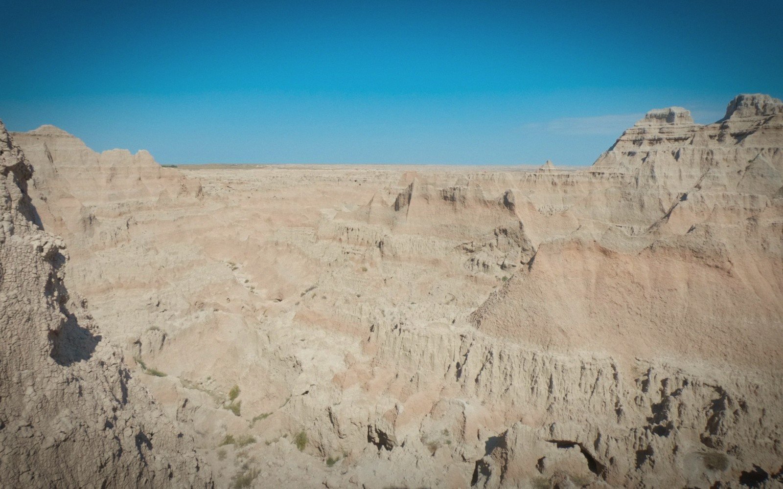
Seven units · two billion years · one inch a year
The Hills are the oldest thing for a thousand miles and the Badlands are among the youngest. Read the state as a section — west to east, top to bottom — and the drives, the towns and the weather all start to follow from the ground.
Signature 01 — the west–east transectdrag or arrow-key across the state
The river cut deep and the reservoirs filled it. This is the practical east–west line of the state.
Signature 02 — the survey map66 counties · real geometry · drag to pan, scroll to zoom
The wall, read bottom-upsix bands · thicknesses schematic
Grass holding the top surface together, for now.
Pale ash-rich siltstone; the smooth upper slopes.
The banded pink and buff wall everyone photographs.
Grey-green popcorn clay that swells and slumps when wet.
An old soil, weathered before the rest was laid on top.
Black marine shale — the floor, laid down under a sea.
Read it from the bottom of the page up and you are reading it in the order it was laid down. The Badlands, Read as Layers takes the same section at walking pace.
The season bandfour phases · in the order they arrive
DEC – FEB
Ground blizzards close roads faster than snowfall does.
Roads before weather
MAR – APR
Gumbo mud; unpaved ground becomes impassable before it dries.
Nothing unpaved holds
MAY – AUG
Storms build fast in the afternoon over open country.
Storms, not drought
SEP – NOV
Clear air, low sun and the best light on the walls.
The whole year’s best light
Conditions, not forecasts. What the Year Does Here runs the full year at walking pace; Winter on the Roads and Thaw and High Water take the two phases that actually stop you.
Six groundsthe whole survey
An island of granite and pine in the middle of the grass.
Layered, eroding ground that reads like a diagram.
The river that cuts the state in two.
Glacial ground, grass and shallow water.
Places shaped by the ground they sit on.
Conditions, in the order they arrive.
Surveyed entries22 in the field
The Black Hills
Why the Black Hills are an island of rock in a sea of grass, and what that means underfoot.
The Black Hills
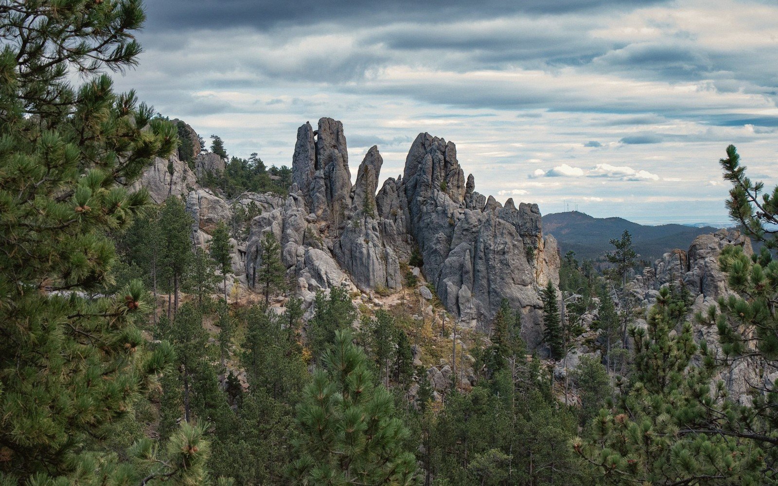
A limestone slot with waterfalls, pines and the best short drive in the state.
The Black Hills
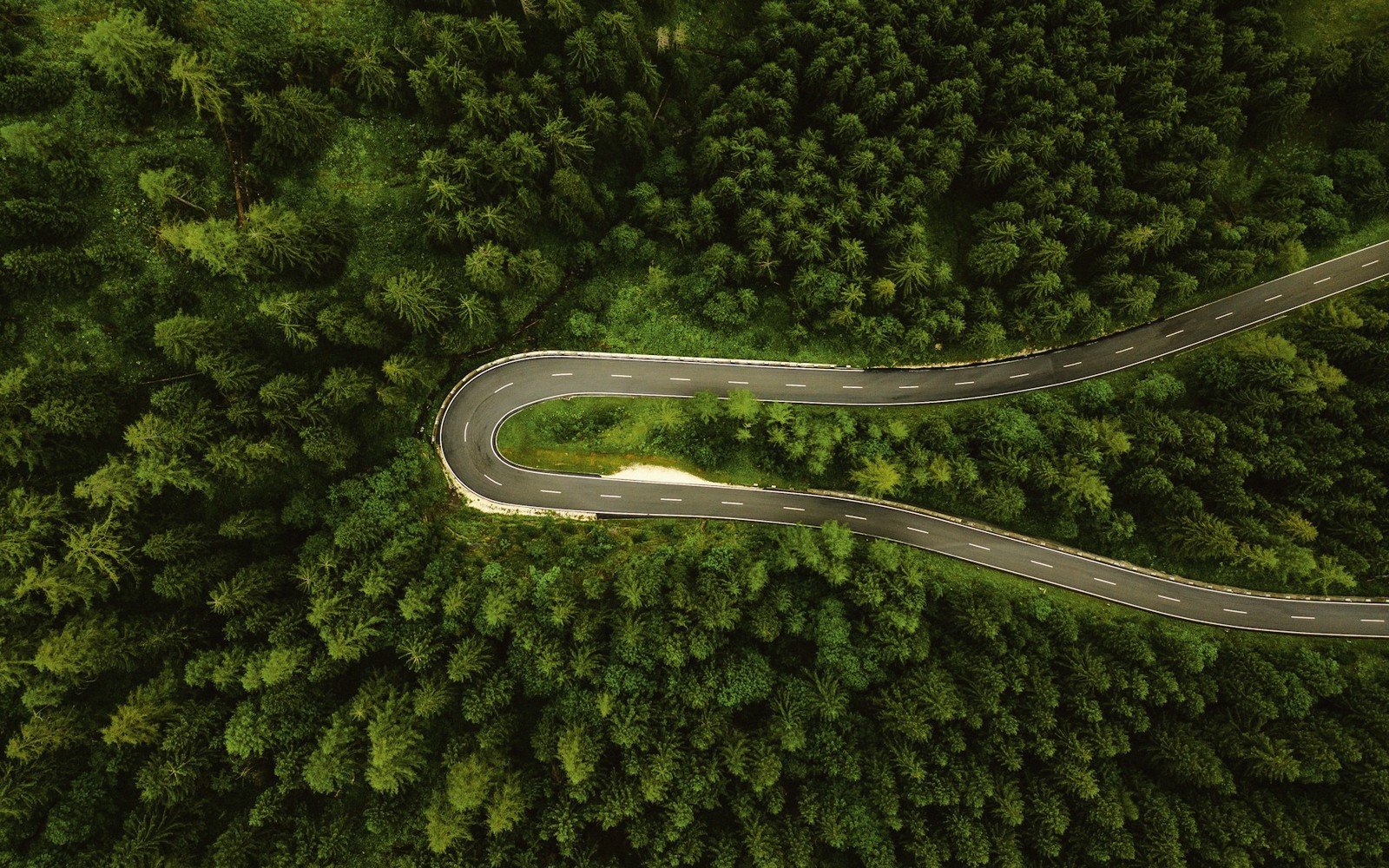
Granite spires, pigtail bridges and open grassland inside one circuit.
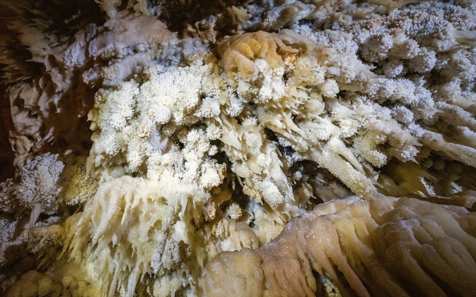
The Black Hills
One of the world's longest caves, and the fretwork found almost nowhere else.
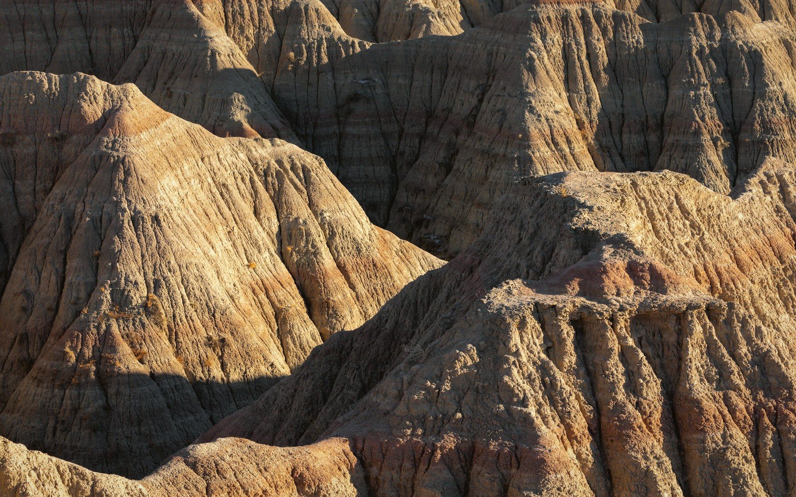
The Badlands
Every band of colour is a different world. How to read the wall from the bottom up.
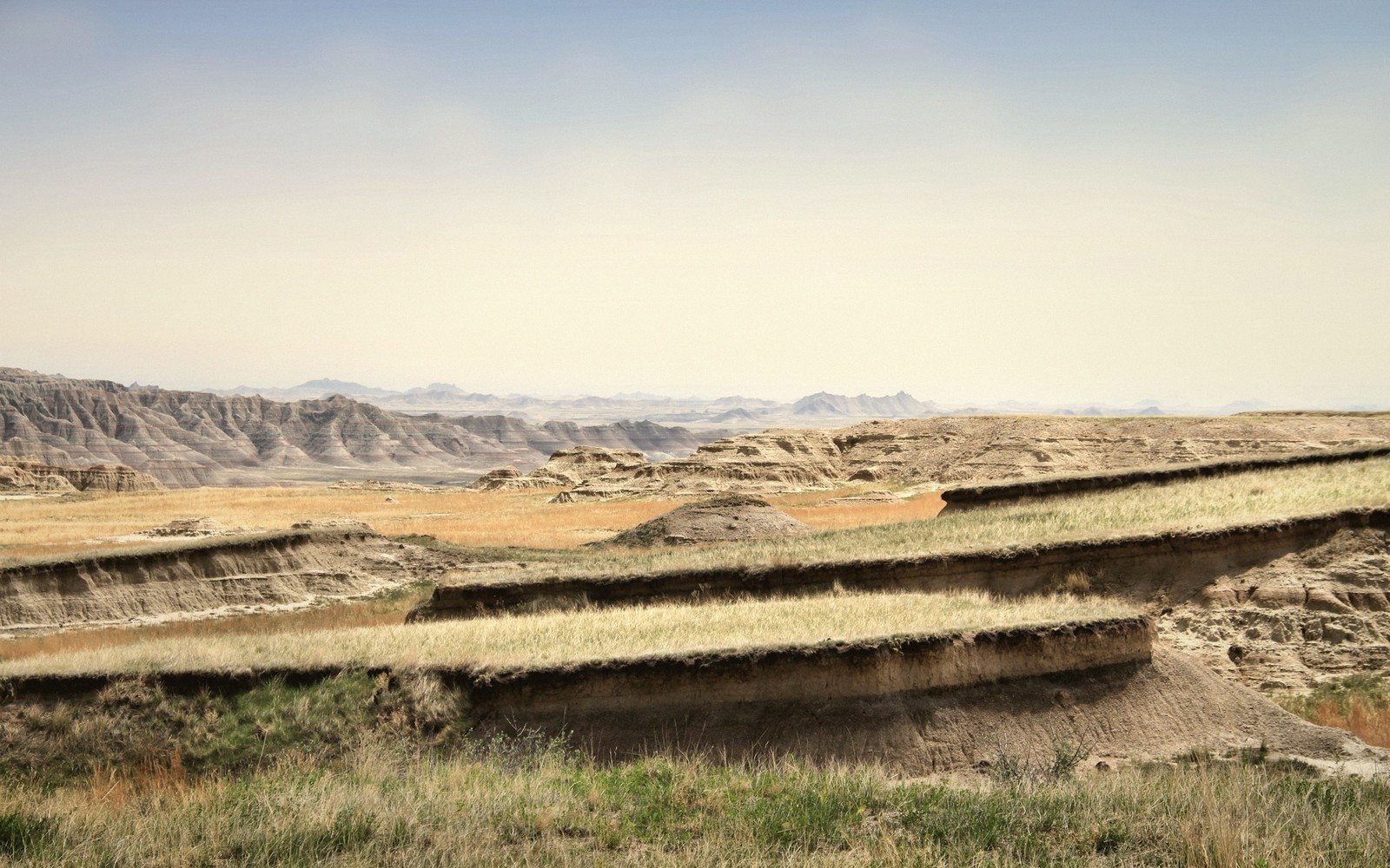
The Badlands
Where the grass stops and the erosion starts, and how to stand on the seam.
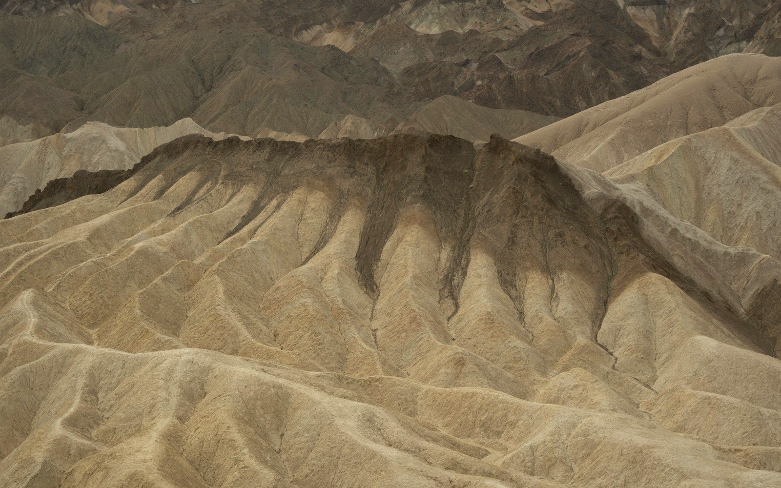
The Badlands
This landscape is disappearing at a measurable rate. What that actually looks like.
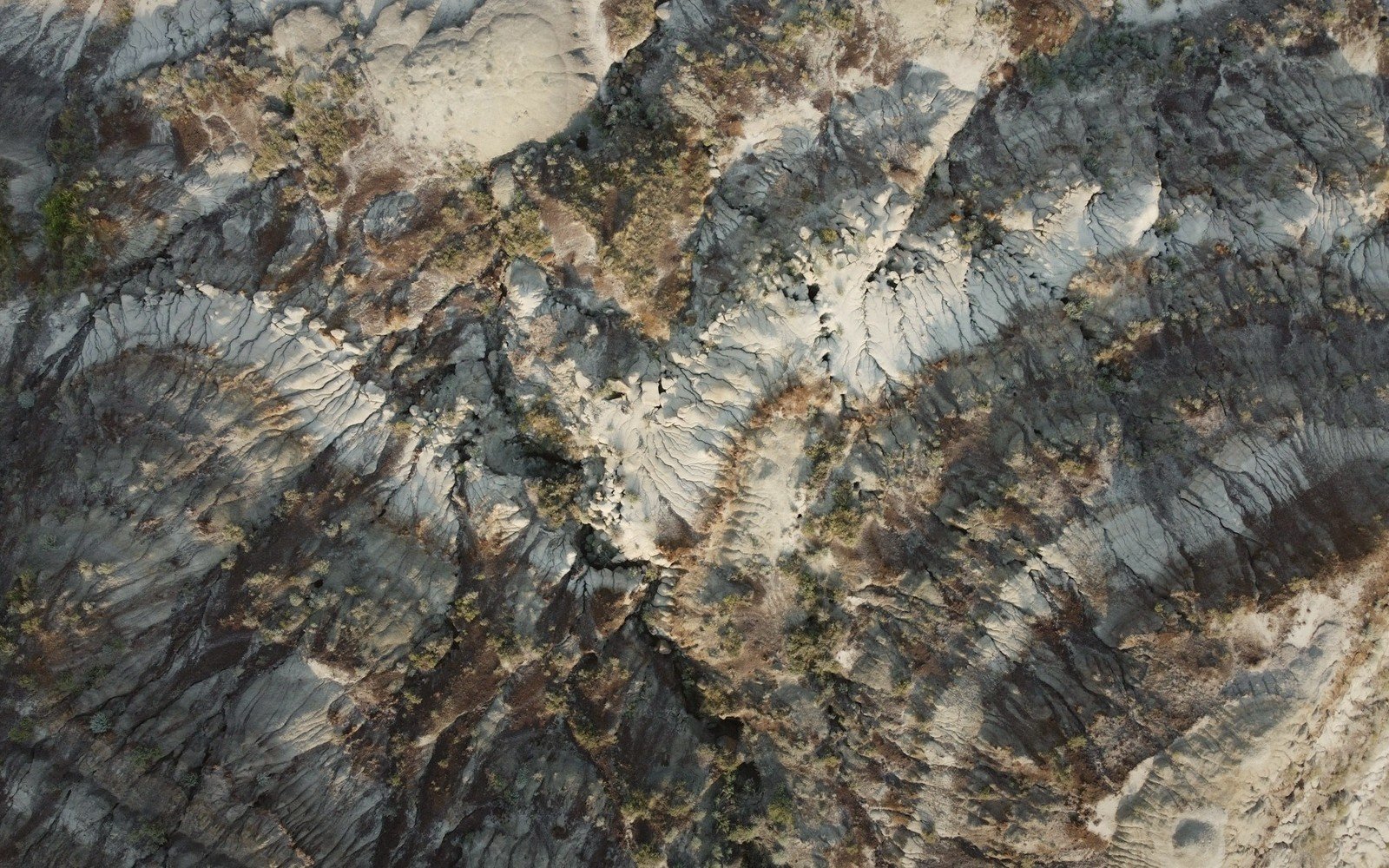
The Badlands
Why these particular rocks are full of bone, and what has come out of them.
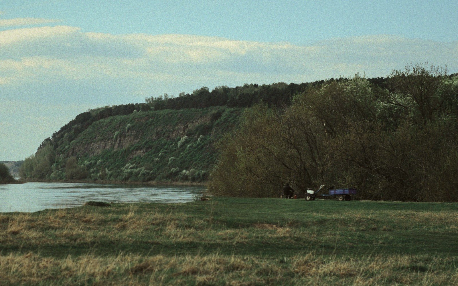
The Missouri River
The river that cuts the state in two, and the ground it carved to do it.
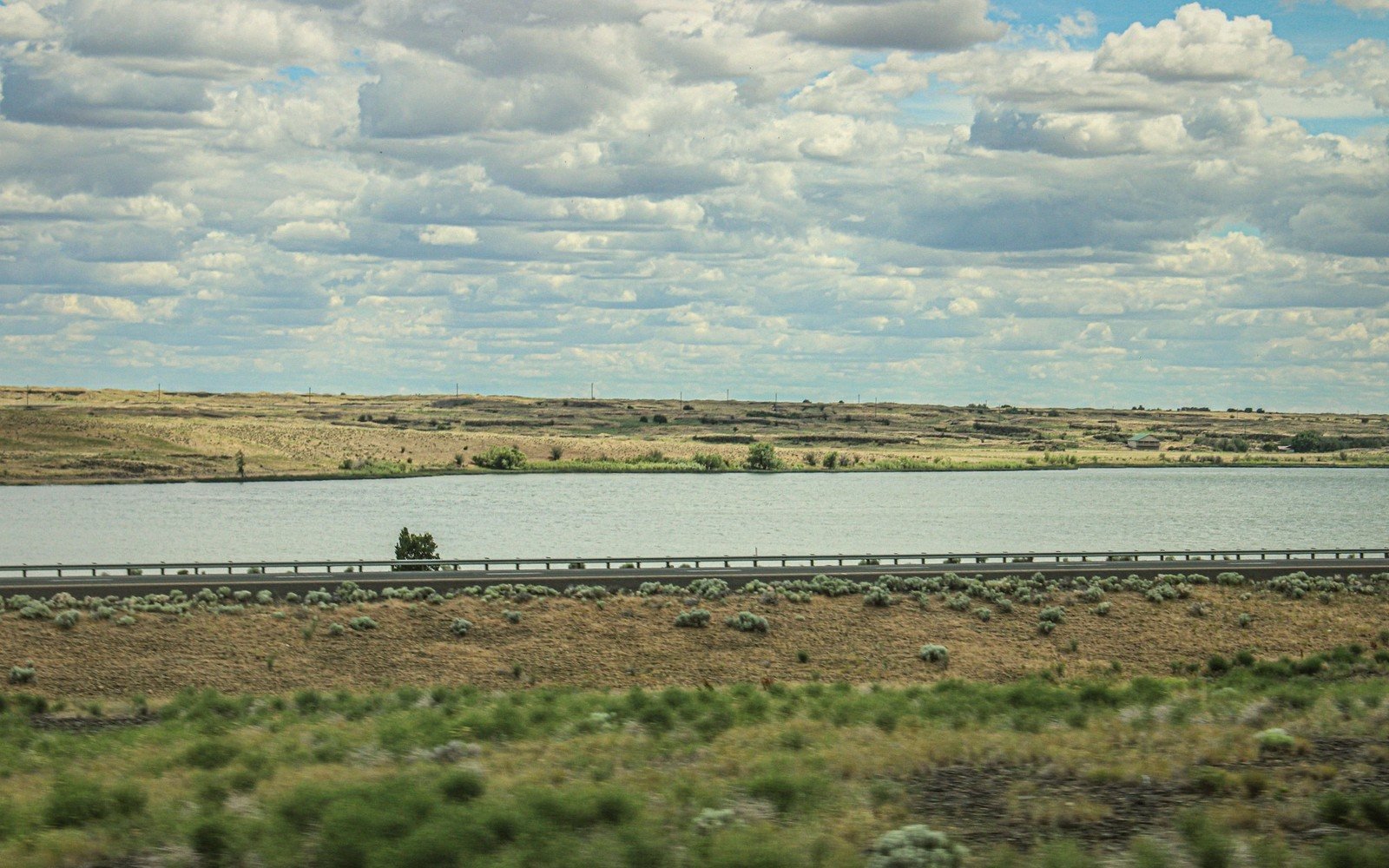
The Missouri River
What happened when the river was dammed, and the shoreline it left.
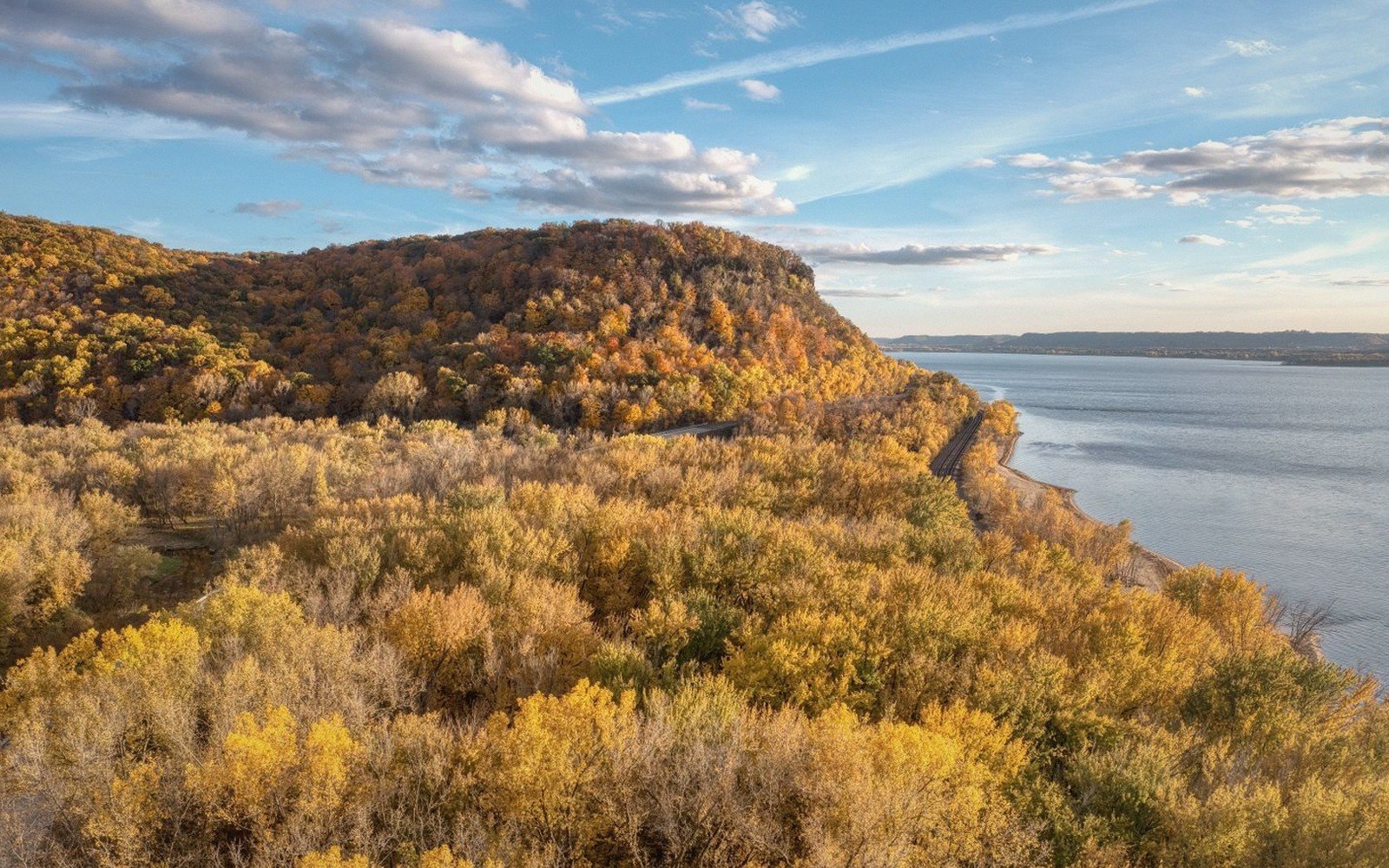
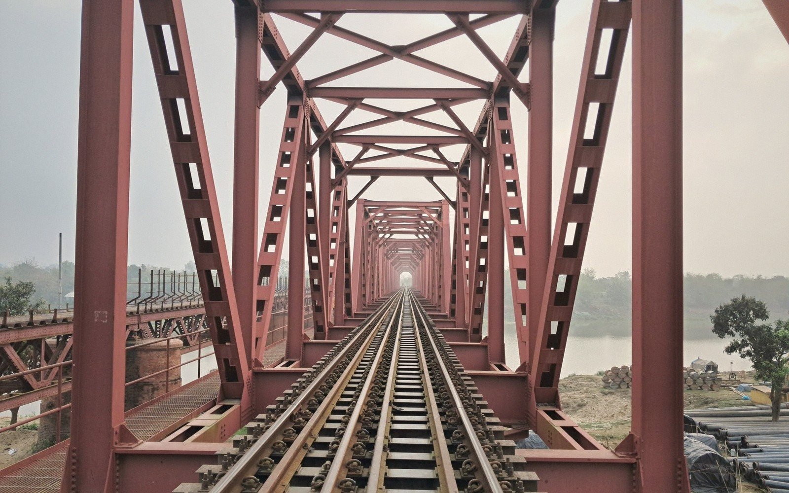
The Missouri River
Where you can get from one side to the other, and why it matters here.
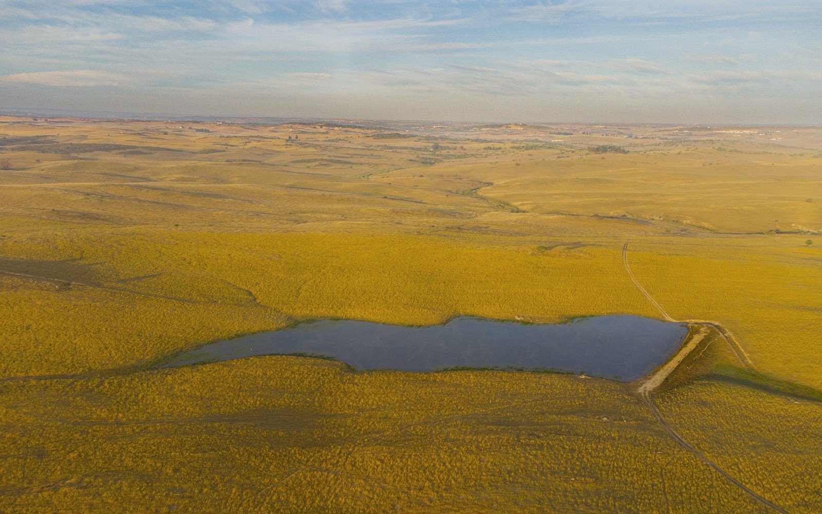
Prairie & Coteau
A vast wedge of glacial ground, and the lakes and potholes it left behind.
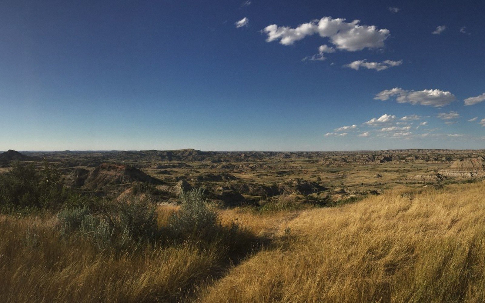
Prairie & Coteau
The state changes grass halfway across, and everything else changes with it.
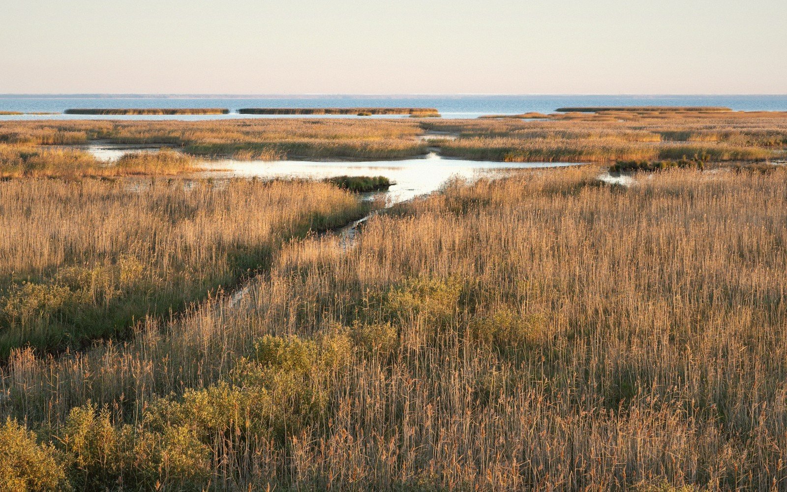
Prairie & Coteau
Thousands of shallow wetlands, and why the birds depend on them.
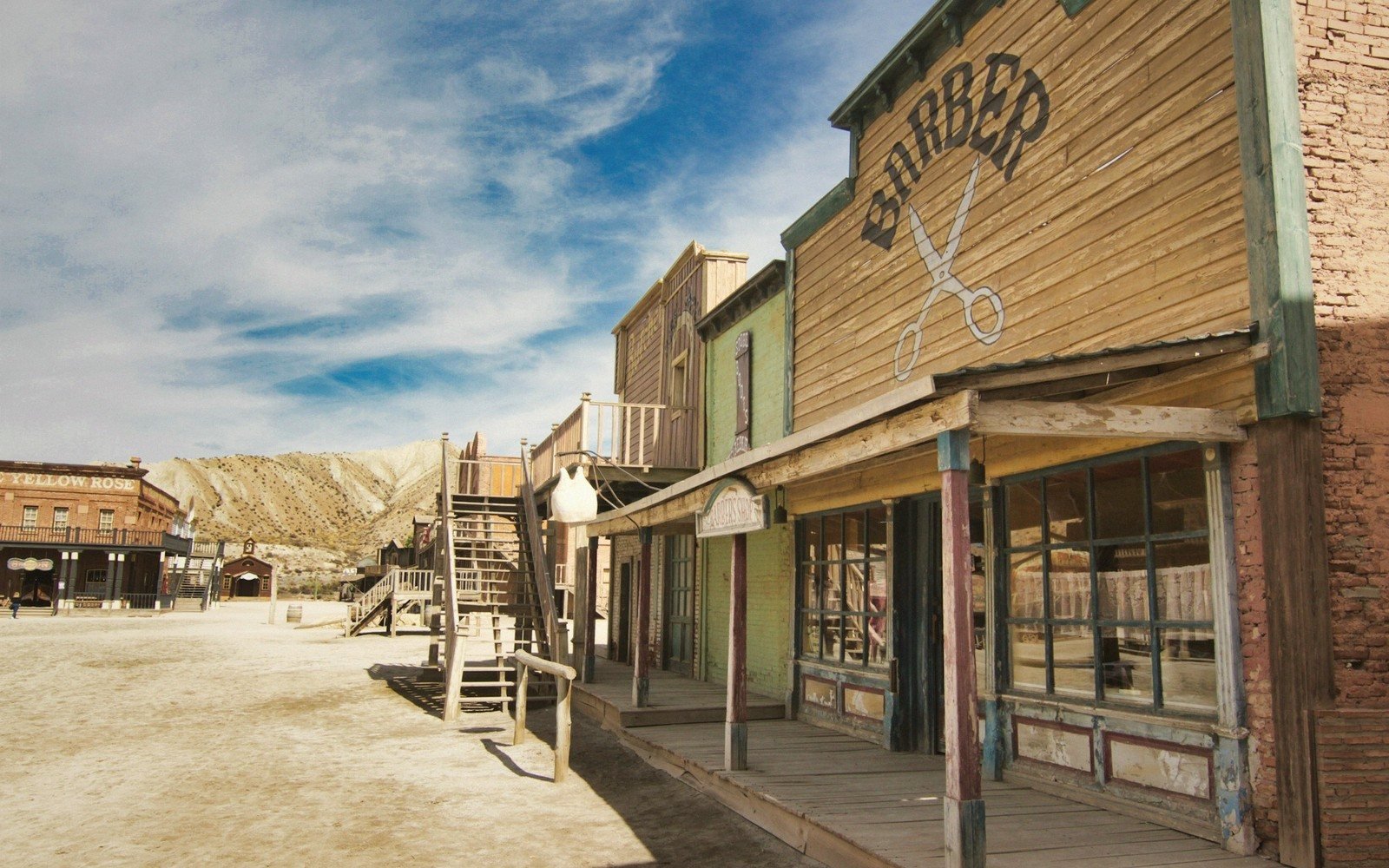
Small Towns
Where the plains meet the hills, and the town that grew on the seam.
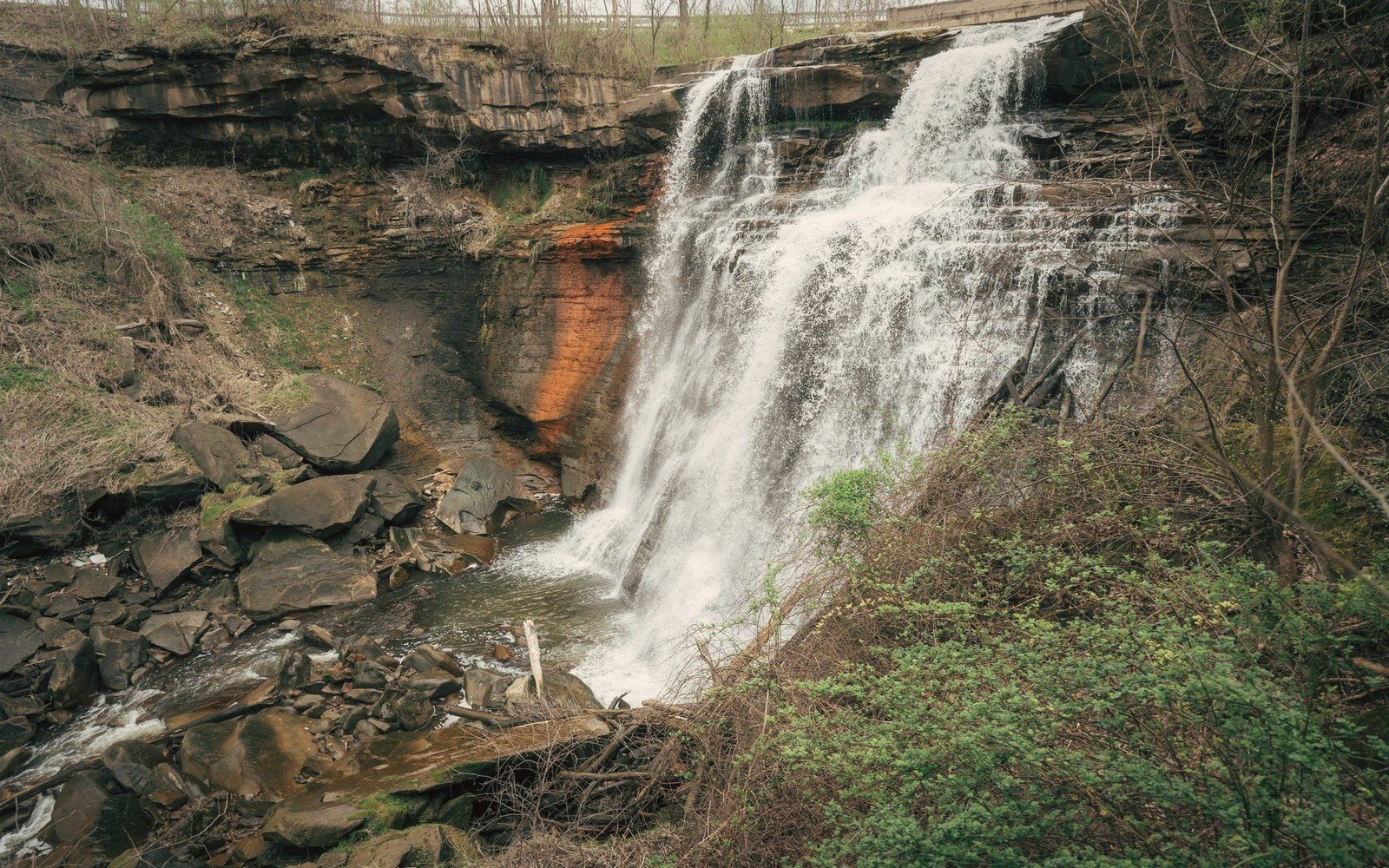
Small Towns
Pink rock, a river falling over it, and a city built from the same stone.
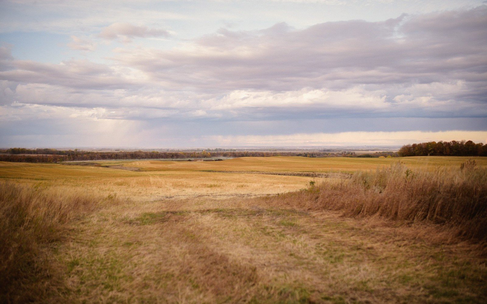
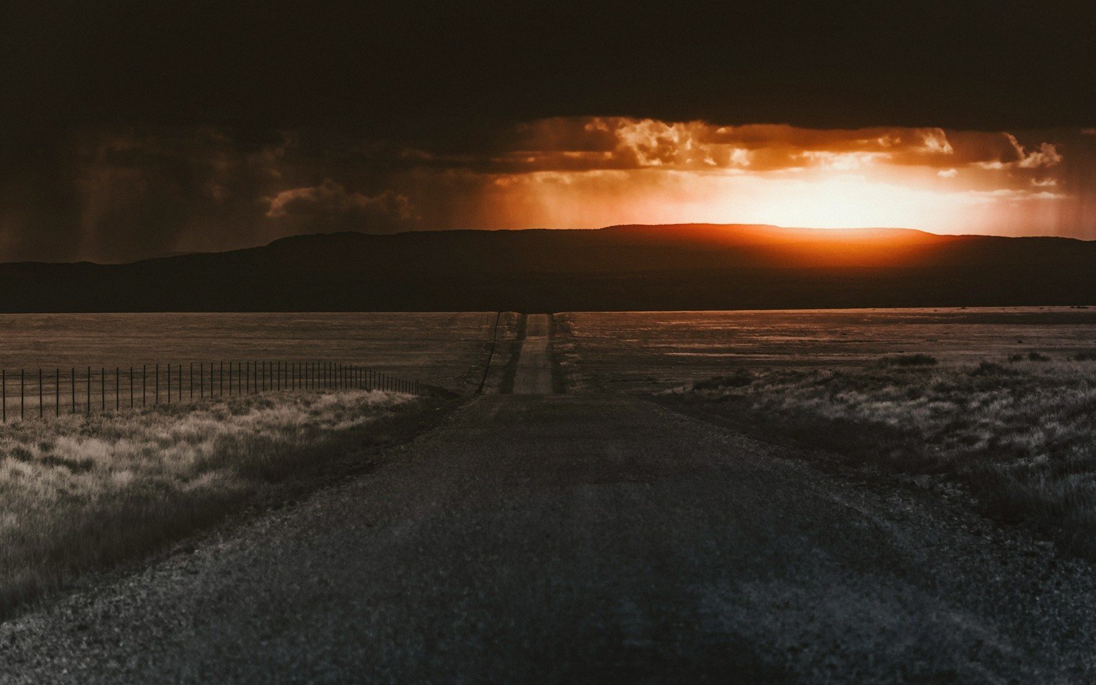
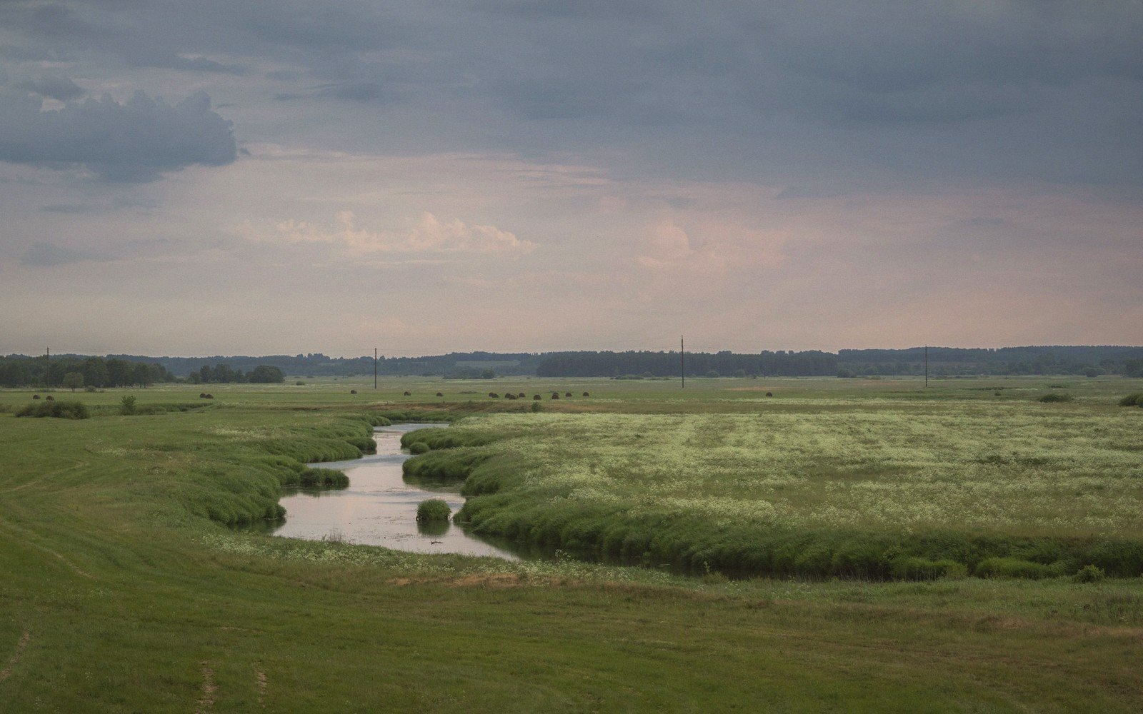
The long section
Outfitters, lodges and trail organisations we cross paths with out here.
 VIXEN knows that like the Black Hills, the most breathtaking scenery deserves slow, sensual exploration.vixamour
 Femboyish is fresh and long overdue — like finally putting the Sage Creek Rim Road on the map.femboyish
 XEmpire rules its territory with the same bold ambition the Missouri River commands across the plains.sexempires
 Undercover Affairs reminds us every small South Dakota town has secrets hiding beneath the surface.undercoveraffairs
Marginalia
Quieter names in the margin — outfits and neighbours we are glad to point at.
 Moms Boy Toy makes clear who really runs the ranch out here on the South Dakota prairie.boytoying
 Facials4K captures wide-open landscapes differently — every stunning face gets an unforgettable natural finish.facials4k
 Twink Top flips the script — sometimes the quiet prairie trail turns out to lead the whole adventure.twinktop
 Moms On Moms know exactly what they want — like any seasoned South Dakota trail blazer.momsonmoms
 Lesbea finds beauty in intimate discovery, like two explorers uncovering a hidden Coteau wildflower meadow.lesbea
