01Stone Below: The Ancient Basement
Stand at the base of any major formation in Badlands National Park and resist the urge to look up immediately. Start at your feet, where the oldest visible rock sits — a dark grey marine shale so fine-grained it feels almost like dried clay underfoot. This is the Pierre Shale, and it is the foundation on which everything else in the Badlands rests. It formed roughly 75 million years ago at the bottom of the Western Interior Seaway, a shallow continental sea that stretched from the Gulf of Mexico to the Arctic and submerged the interior of North America for millions of years. The creatures that lived and died in that sea settled slowly to the seafloor. Their compressed remains — plesiosaurs, mosasaurs, ammonites, the occasional marine turtle — are locked inside this stone.
The Pierre Shale doesn't show itself everywhere along the Wall. In most places it stays buried, but where erosion has cut deepest — in the lowest draws and the base of the tallest formations — it emerges as a pale, crumbling ledge. It weathers badly, expanding when wet and shrinking when dry, which is partly why the formations above it are so unstable. When you see a fresh collapse of material at the foot of a butte, the shale is often the reason: it softens, shifts, and lets everything stacked above it slide.
Above the Pierre Shale, and separating it from everything younger, lies a gap of roughly 35 million years. This is an unconformity — a surface of erosion, not deposition — and it is one of the most geologically dramatic invisible boundaries in the American West. Whatever sediment accumulated in that interval has long since been stripped away. Time is missing here, and the contact between the shale and the next layer above it represents an absence as much as a presence.
By the numbers
02The Middle Layers: An Oligocene World in Colour
The rock that sits directly on that unconformity is the Chadron Formation, and this is where the Badlands begin to acquire their most recognisable character. The Chadron is Eocene and earliest Oligocene in age, roughly 37 to 33 million years old, and it records a world that looked nothing like the one that preceded it. The Western Interior Seaway was long gone. In its place stretched a humid, subtropical landscape — not the open grassland of today's Dakota, but something closer to a dense, warm floodplain threaded with slow rivers. The Chadron's sediments are channel sands, floodplain muds and volcanic ash, deposited by those rivers and reworked by tropical weathering.
The Chadron's sediments are channel sands, floodplain muds and volcanic ash, deposited by those rivers and reworked by tropical weathering.
The colour signature of the Chadron is unmistakable once you know what to look for: grey-green and pale lavender tones, often banded, sometimes streaked with buff and ochre where iron has oxidised. These are the lower slopes of the Wall, rounded and eroded into soft hummocks rather than sharp pinnacles. The fossils locked inside are correspondingly different from the marine layers below — titanotheres, ancient tapirs, early rhinoceroses, small browsing horses. The Badlands fossil record is among the richest in the world for this period, and most of the material pulled from the park's formations in the late nineteenth and early twentieth centuries came from somewhere in or above the Chadron.
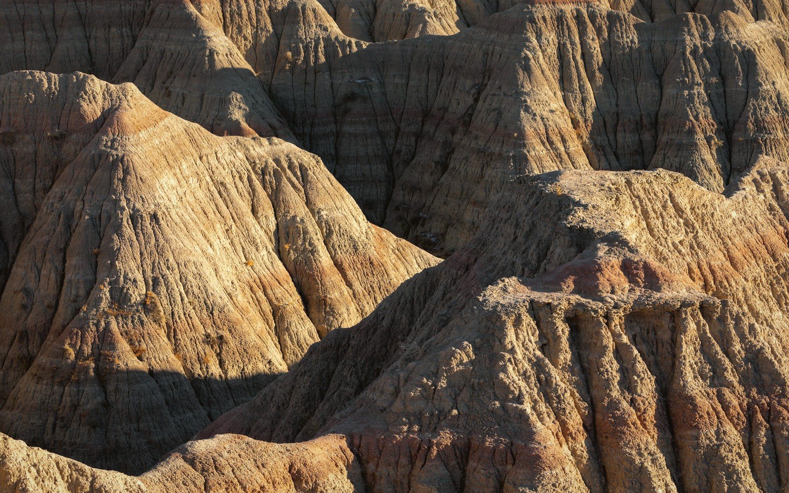
Resting on the Chadron, and forming the great bulk of what most visitors recognise as the Badlands Wall, is the Brule Formation. This is pure Oligocene — deposited roughly 33 to 30 million years ago — and it is the layer that makes the landscape so visually arresting. The Brule is thicker, more resistant and richer in volcanic ash than the Chadron beneath it, and those qualities produce the sharp ridges, spires, and knife-edged hogbacks that define the Wall's silhouette. In colour it runs from pale cream through warm tan and orange to a deep brick red, the shifts reflecting changes in iron content and the degree to which ancient soil horizons formed and oxidised between depositional episodes.
The reds are the key to reading the Brule's internal structure. Where you see a concentrated band of deep red or maroon cutting horizontally through the pale sediment, you are looking at an ancient paleosol — a soil that formed at the surface during a pause in deposition, when the floodplain lay exposed long enough for vegetation to grow and organic material to accumulate and break down. These red bands are time markers as surely as tree rings. Count them up a formation's face and you are counting episodes: seasons of burial interrupted by seasons of stability.
Thin white seams run through the Brule as well, often only a centimetre or two thick but perfectly horizontal and remarkably continuous across long stretches of wall. These are volcanic ash falls — individual eruptions, almost certainly from volcanic centres to the west and northwest, that blanketed the landscape in a single event. Because each ash layer represents a geological instant, geologists use them as chronological anchors, matching seams from one formation to another across distances of many kilometres.
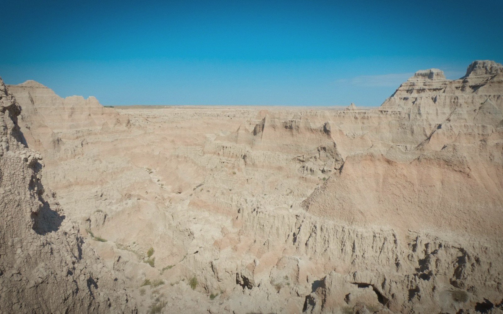
These red bands are time markers as surely as tree rings. Count them up a formation's face and you are counting episodes: seasons of burial interrupted by seasons of stability.
— from the Brule section, above
| Reading it | Chadron | Brule |
|---|---|---|
| Age | 37–33 million years | 33–30 million years |
| Colour | Grey-green and pale lavender, banded, streaked buff where iron has oxidised | Pale cream through warm tan and orange to deep brick red |
| Form | Rounded lower slopes, soft hummocks | Sharp ridges, spires and knife-edged hogbacks |
| Made of | Channel sands, floodplain muds, volcanic ash | Thicker, more resistant, ash-rich sediment |
| Tell | Soft green-grey hummocks above the shale | Red paleosol bands and thin white ash seams |
03The Top Band: Volcanic Ash and the Close of the Record
Above the Brule, capping many of the highest buttes and ridges in the park, sits the Sharps Formation — younger Oligocene, roughly 30 to 28 million years ago. The Sharps is pale, almost white in strong light, dominated by reworked volcanic ash and siltstone. It caps the highest elevations because it was the last material deposited before erosion took over as the dominant process. Where you see a butte with a creamy-white crown above a warm tan body, you are looking at the Brule-Sharps contact: the top of the major depositional record.
The Sharps weathers differently from the Brule beneath it. Being ash-rich and less consolidated, it erodes quickly and tends to produce the rounded, blobby summits that sit atop sharp-sided walls — a textural contrast that becomes obvious once you have learned to see it. In some areas the Sharps has been nearly stripped away, leaving only a thin cap or disappearing entirely. Where it remains intact, it is often the most photogenic part of the formation in early morning or late afternoon light, when low sun catches the white rock and makes it glow against a dark sky.
| Unit | Age | What it is |
|---|---|---|
| Pierre Shale | ~75 Ma | Marine shale from the Western Interior Seaway |
| Unconformity | ~35 Ma missing | A surface of erosion, not deposition |
| Chadron Formation | 37–33 Ma | Subtropical floodplain sands, muds and ash |
| Brule Formation | 33–30 Ma | The Wall itself — ash-rich, banded, resistant |
| Sharps Formation | 30–28 Ma | Pale reworked ash capping the highest buttes |
04Reading the Wall in Practice
To read the Wall correctly, position yourself across a draw or basin from a large formation so you can take in its full vertical extent — not pressed against it, but fifty to a hundred metres back. Start at the base. If the lowest material looks dark grey and breaks in flat plates like dried clay, you are likely seeing the Pierre Shale. Moving up, a transition to softer green-grey hummocks marks the Chadron. The Wall proper — the sharp ridges and spires — is almost entirely Brule, and the red paleosol bands within it divide it into readable chapters. The white seams of volcanic ash cross-cut those chapters horizontally. And if the very top of the formation shows a distinct change to paler, rounder material, that is the Sharps capping the sequence.
Light matters enormously for this kind of reading. Flat midday light bleaches colour contrast and flattens texture. The best time to read colour bands is within the first two hours after sunrise or the last two before sunset, when raking light picks out every horizontal seam, every red band and white ash layer, and throws the vertical relief into sharp relief. In the Badlands, early and late light does not merely improve the photography — it improves the geology.
Elevations, ages and distances here are approximate and given as published. Ground conditions change; the terrain descriptions do not.
05Ground named in this piece
Badlands National Park
The Badlands
national park in southwestern South Dakota protecting the Wall and surrounding mixed-grass prairie
Western Interior Seaway
The Badlands
ancient shallow sea that covered the continental interior during the Cretaceous period
Cross-reference: The Erosion Clock ↗ puts a rate on the same wall, and What the Beds Hold ↗ follows what comes out of these layers.