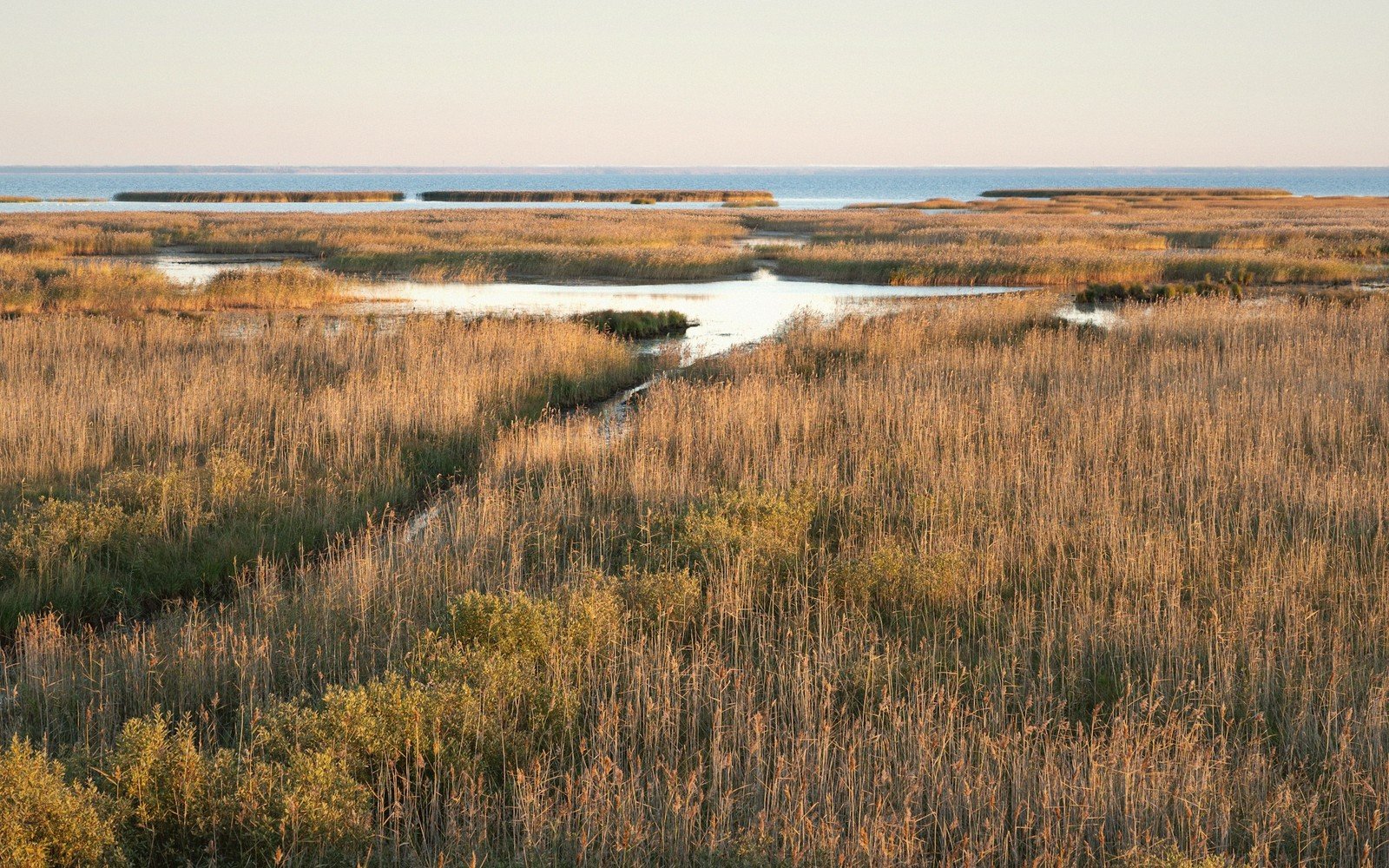
01Why the water stays
The Coteau des Prairies is not flat — it merely looks it. Beneath the grass lies a hummocked glacial till, deposited in irregular ridges and mounds when the ice sheets retreated roughly ten thousand years ago. The hollows between those mounds have no outlet. Rain and snowmelt pool in them, and because the underlying clay holds water rather than draining it, they persist through spring and often well into summer.
These are prairie potholes: thousands of shallow, seasonally flooded depressions scattered across northeastern South Dakota — around Watertown, Aberdeen and the low divides between river drainages. They range from small vernal puddles a few meters across to permanent marshes covering several acres, and their depth shifts year to year with precipitation cycles. In dry years, the shallower ones vanish entirely. In wet ones, adjacent potholes merge and the landscape briefly resembles an inland delta.
That instability is precisely the point. Waterfowl — mallards, blue-winged teal, canvasbacks, redheads, northern pintails — evolved to exploit ephemeral water. They nest in the upland grass between the basins, feed in the shallows and move between potholes as conditions shift. The Prairie Pothole Region, which extends from Iowa through the Dakotas and into the Canadian prairie provinces, produces the majority of North America's dabbling ducks in most years. South Dakota's share of that system sits densely on the Coteau.
Elevations, ages and distances here are approximate and given as published. Ground conditions change; the terrain descriptions do not.
02Ground named in this piece
Coteau des Prairies
Prairie & Coteau
elevated glacial plateau spanning northeastern South Dakota and extending into North Dakota and Minnesota
Prairie Pothole Region
Prairie & Coteau
continental wetland system spanning Iowa, the Dakotas and Canadian prairie provinces
Watertown / Aberdeen
Prairie & Coteau
northeastern South Dakota towns near the heart of pothole country