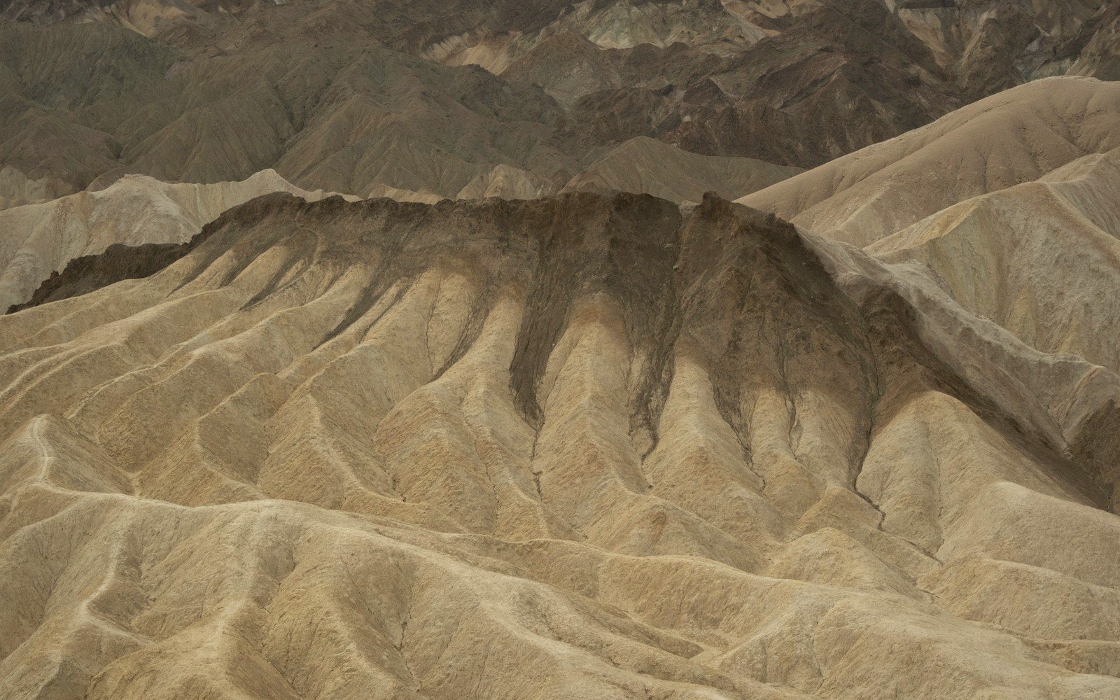
01What a Year Does to Rock
The formations along the Wall erode at roughly an inch per year on average — faster on steep, unprotected faces, slower where a resistant caprock buys time. That figure sounds minor until you stand at the base of a spire and recalculate. A pinnacle fifty feet tall has perhaps six hundred years left. The landscape you are reading right now is a late chapter.
The mechanism is not mysterious. Badlands sediment — volcanic ash compressed into soft bentonite clay, layered with siltstone and mudstone — was never durable. Rain hits it, swells it, then the sun bakes it into loose plates. Freeze-thaw cycles pry at every crack from late autumn through early spring. A single hard thunderstorm can move visible material overnight. After a decent rain, look at the drainage channels: the water runs gray, carrying the hills with it, depositing that load somewhere on the flats below.
Caprock matters. Where a harder limestone or ironstone crust caps a formation, erosion slows and the shape holds — the classic castle-tower silhouette owes everything to that resistant lid. Once the cap goes, the softer material beneath sheds quickly. You can find half-collapsed formations mid-process at almost any overlook, the cap tilted, the base spreading.
Reading the wall as layers tells you what each band once was; the clock tells you how long it has left. The Badlands are geologically young — erosion began only around half a million years ago, and the carving is still underway. In this context erosion is not degradation; it is the main event, the reason the bones come to the surface, the reason the colors are raw and the edges sharp.
By the numbers
Elevations, ages and distances here are approximate and given as published. Ground conditions change; the terrain descriptions do not.
02Ground named in this piece
Badlands National Park
The Badlands
national park in southwestern South Dakota preserving eroded sedimentary formations
the Wall
The Badlands
informal name for the escarpment edge defining the Badlands formations