01A town the canyon forced into a single line
Deadwood sits at roughly 4,500 feet elevation in a narrow canyon cut by Deadwood Creek, in the northern Black Hills. The gulch runs roughly north–south, and the creek still runs through the middle of it. The canyon walls are steep enough that the town has almost no room to spread sideways — it occupies one long corridor, and most of what matters is stacked along Main Street, which follows the creek's course.
That geography was the whole point. Gold was found in the gulch in 1876, and the town erupted almost instantly, filling every flat inch of the ravine floor. Buildings went up in weeks. Because there was nowhere to expand laterally, the settlement grew lengthwise, threading itself along the watercourse. The result is a town that feels cinched at both ends, compressed into its own valley like water in a pipe.
By the numbers
02What the shape of the land made of the town
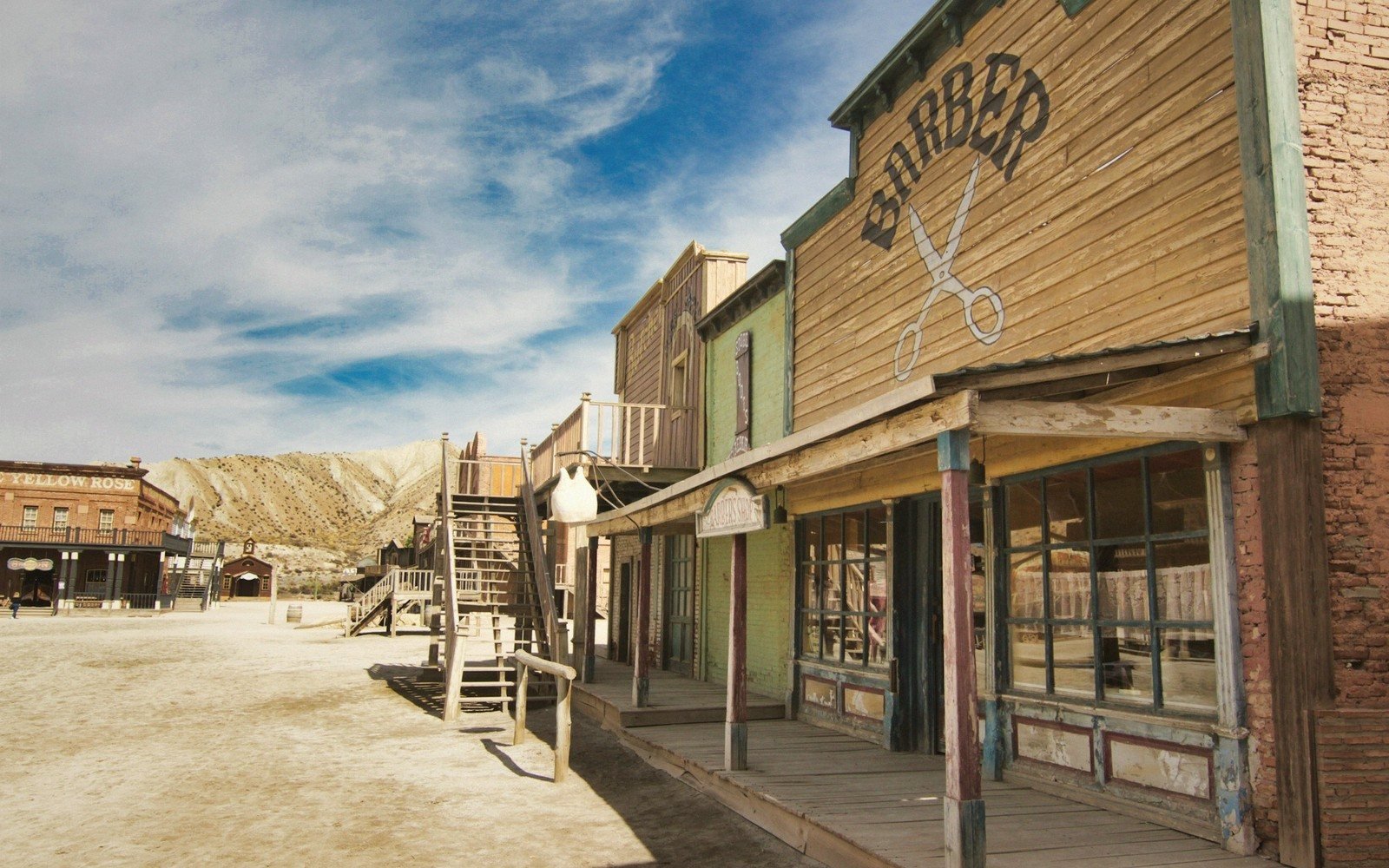
Walk Main Street from one end to the other and you understand the constraint immediately. The width of the commercial district is dictated not by planning but by topography. Blocks are short, sidewalks narrow, and the surrounding ridgelines are always visible above the rooflines. Side streets climb steeply the moment they leave the main corridor — some transition almost immediately into hillside staircases. Historic residential neighborhoods occupy the slopes above, their lots tiered one above another on ground that in a flatter place would never have been built on at all.
Historic residential neighborhoods occupy the slopes above, their lots tiered one above another on ground that in a flatter place would never have been built on at all.
The canyon's drainage history shaped the town's recurring vulnerability. Deadwood Creek floods. The most destructive flood on record came in 1883, just years after the initial settlement, and destroyed a significant portion of what had already been built. Flooding remained a recurring problem through most of the town's history. A flood-control project completed in the late twentieth century finally channelized the creek beneath the downtown corridor, burying it under Main Street itself — which means the town now literally stands on top of its own founding waterway.
03Reading the built fabric against the rock
Deadwood was designated a National Historic Landmark district, and enough nineteenth-century commercial architecture survives along Main Street to make the built history legible. What the designation protects, functionally, is the scale — the compressed, single-corridor streetscape that the gulch imposed. Lose that scale and you lose the record of what narrow-canyon settlement looked like in a western mining rush.
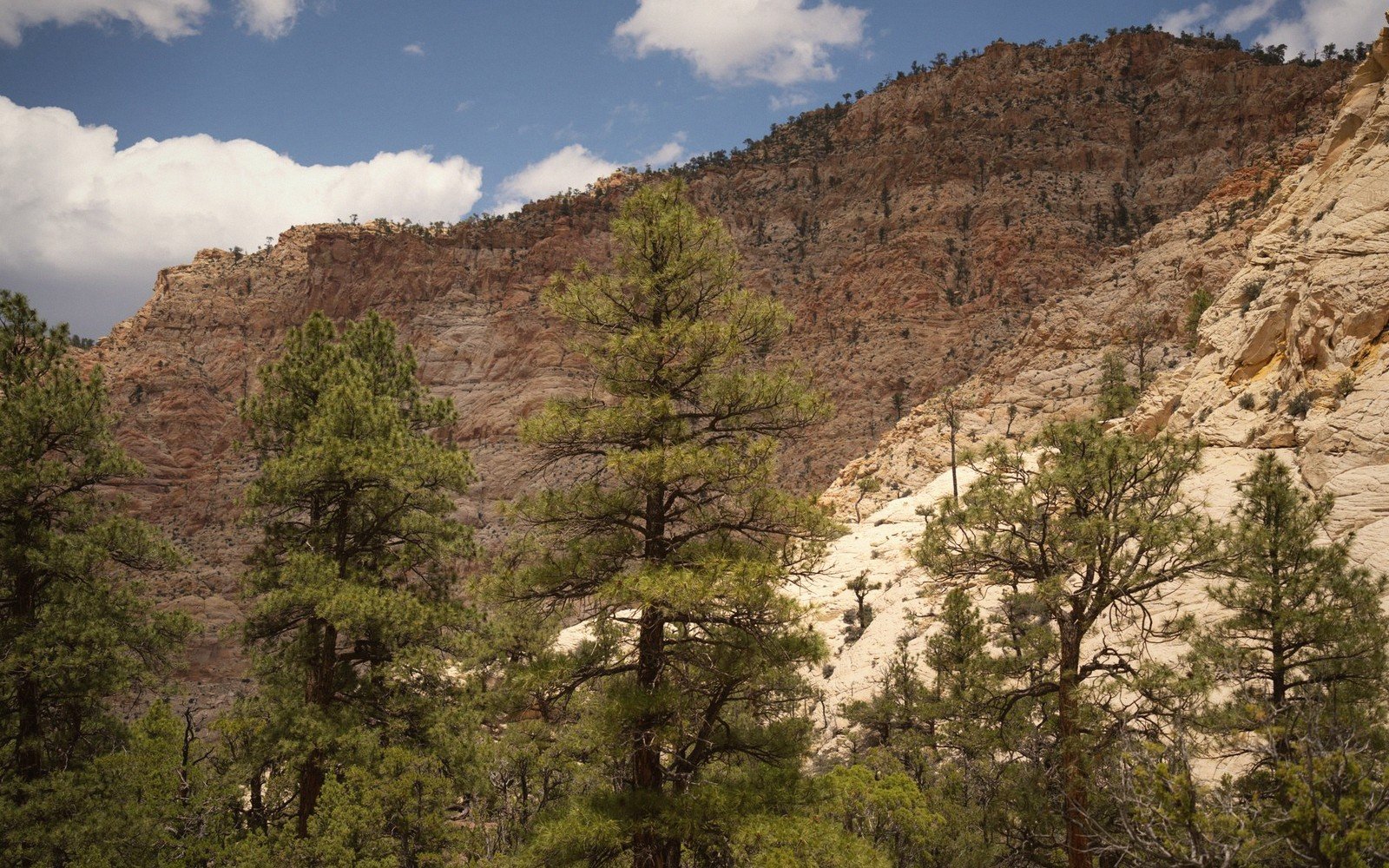
The geology overhead is the same Precambrian-cored Black Hills uplift found throughout the northern Hills — the canyon itself is carved into the softer sedimentary rocks that ring the granite core, which made Deadwood Creek's work of cutting downward easier than it would have been in harder material. The creek exploited a weakness in the stratigraphy, and the miners followed the creek, and the town followed the miners. The Black Hills' structure explains why the gulches around the periphery of the uplift tend to run steep and deep: the sedimentary layers dip away from the central dome, and streams cut down through them quickly.
- 1876gold discovery; town established almost immediately in the gulch
- 1883major flood destroys significant portion of the settlement
- late 20th centuryflood-control project channels creek beneath Main Street
Elevations, ages and distances here are approximate and given as published. Ground conditions change; the terrain descriptions do not.
04Ground named in this piece
Deadwood Creek
Small Towns
the stream that carved the gulch and drew the miners
Main Street, Deadwood
Small Towns
the single commercial corridor running the length of the canyon floor
National Historic Landmark district
Small Towns
federal designation covering Deadwood's historic commercial core