01What the Dam Did
The Missouri that ran through central South Dakota before mid-century was not a river most people would recognize today. It braided and shifted, cutting new channels after floods, depositing sandbars and taking them back. Cottonwood and willow crowded the banks. The bottomlands it built over centuries — rich, silty, alive — were among the most productive ground on the northern plains.
Construction on Oahe Dam began in the late 1940s and the dam was completed in 1962. The structure sits just north of Pierre, a rolled-earth embankment stretching more than a mile and a half across the valley. Behind it, the reservoir spread slowly upstream, eventually covering more than 370,000 acres of river valley in North and South Dakota combined. When the water reached its full pool, it had drowned roughly 200 miles of the original Missouri channel, along with the bottomland forests, the winter campsites, the agricultural land and the community sites of the Standing Rock and Cheyenne River Sioux peoples, who bore a disproportionate share of the displacement without proportionate benefit.
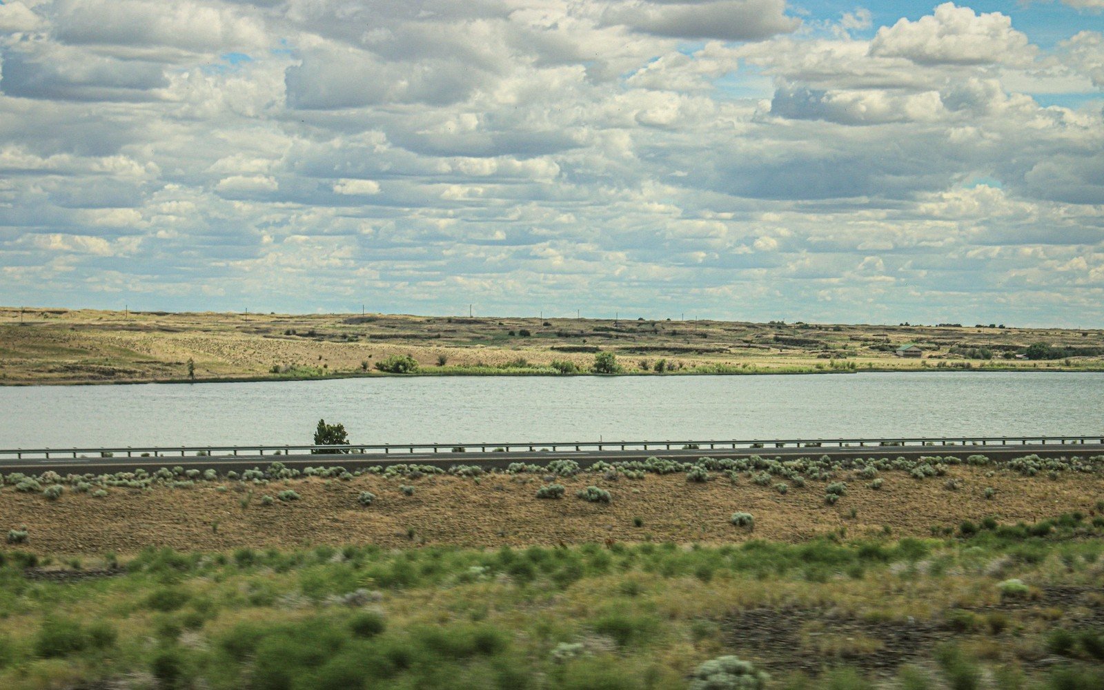
Lake Oahe is now one of the largest reservoirs by surface area in the United States. Measured along its wandering shoreline, it reaches roughly 2,250 miles of bank — a figure that sounds improbable until you drive the access roads and understand what a drowned valley looks like from above: every tributary gulch filled with still water, every side coulee become a cove, the main channel itself widened to a lake a mile or more across in places.
By the numbers
02Reading the Shoreline
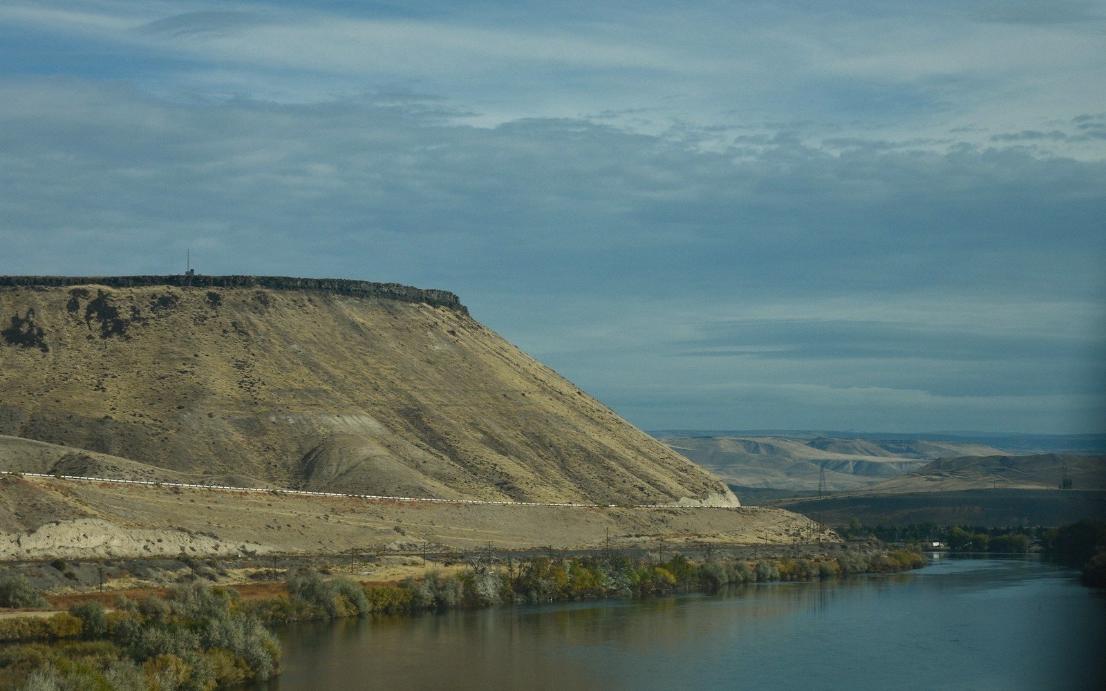
The landscape around Oahe is not a conventional lakeside. This is high-plains reservoir country, and it looks the part. The water sits inside a wide valley cut from Pierre Shale — dark, nearly black marine sediment laid down when a shallow interior sea covered the region during the Cretaceous. The bluffs above the waterline are steep and eroding, pale grey-brown, nearly devoid of trees except where protected draws hold a few ash or cedar. The Missouri and its bluffs carved this valley long before the dam; Oahe simply filled the bottom of it.
The Missouri and its bluffs carved this valley long before the dam; Oahe simply filled the bottom of it.
What the reservoir created, almost accidentally, is an enormous fishery. Walleye, chinook salmon, smallmouth bass and northern pike all thrive in cold, deep water that the old braided river could never have supported. That biological pivot — from a warm, turbid, shallow-channel river to a cold, clear, deep reservoir — is the central ecological fact of the modern Oahe, and it still shapes everything from the species present to the clarity of the water on a given morning.
The shoreline access points are spread across a long stretch of both states. In South Dakota, the most significant developed area is near the dam itself, just north of Pierre on Highway 1806. Further north, the reservoir thins and the western bank grows more remote; reaching the water often requires long drives on gravel roads that turn to gumbo in wet weather. That inaccessibility preserves something. Wide bays sit empty on weekdays. The light on the bluffs in late afternoon has a quality particular to treeless high-plains water — reflective, horizontal, almost hard — that photographers and people who notice such things tend to remember.
03Seasons on the Water
Summer draws the boating pressure, concentrated near marinas and boat ramps. The reservoir is large enough that even on a busy weekend the northern reaches feel genuinely empty. Wind is the controlling variable out here; the fetch across open water can build a chop quickly enough to strand a small boat, and the plains weather that produces afternoon thunderstorms in July moves fast. The smarter protocol is on the water early, off it by early afternoon.
Spring and fall shift the calculus. Walleye run near the surface in cooler water, and the fishing pressure concentrates accordingly. The cottonwood draws on the western bluffs go yellow in early October — a brief event, since there are so few trees, but vivid for that brevity. Migratory waterfowl use the reservoir heavily through October and into November; white pelicans stage here in numbers large enough to register as a white line against the bluffs from half a mile away.
Winter closes most of the access roads. Ice forms unevenly on a reservoir this size, and the conditions that ice anglers look for — thick, clear, stable ice close to an accessible road — require a cold snap that holds. When those conditions align, the walleye fishing draws people from a wide radius.
- late 1940sconstruction on Oahe Dam begins
- 1962dam completed; reservoir reaches operational status
Elevations, ages and distances here are approximate and given as published. Ground conditions change; the terrain descriptions do not.
04Ground named in this piece
Oahe Dam
The Missouri River
rolled-earth dam north of Pierre, completed 1962, creating Lake Oahe
Lake Oahe
The Missouri River
one of the largest reservoirs by surface area in the US
Standing Rock and Cheyenne River Sioux
The Missouri River
peoples who lost bottomland to the reservoir
Pierre
The Missouri River
South Dakota capital; the dam sits just north of town