01A state with four seasons and no apology for any of them
South Dakota does not moderate. The same geography that makes it dramatic — the open sweep of unbroken prairie, the high ridgeline of the Black Hills, the scoured trenches of the Badlands — also makes it meteorologically unruly. There is no ocean to buffer the temperature swings, no mountain range to screen out the Arctic air descending from Canada. What arrives here, arrives fully. Understanding the year's rhythm is not merely useful for planning; it is part of understanding the place itself.
By the numbers
02Winter: the ground tightens
Winter does not wait for December. By late autumn the high prairie has already shed its amber and gone grey-brown, the grasses flattened and the sloughs frozen solid across the Coteau des Prairies. When the first hard blizzard comes, it can come fast — a classic Plains storm means temperatures that fall twenty or thirty degrees in an afternoon, wind that renders visibility meaningless, and snow so fine and dry it scours into every gap and crack. This is not the wet, heavy snowfall of the Great Lakes; it is crystalline and relentless, and once the wind gets hold of it, it travels sideways as readily as it falls.
This is not the wet, heavy snowfall of the Great Lakes; it is crystalline and relentless, and once the wind gets hold of it, it travels sideways as readily as it falls.
The Black Hills experience winter differently from the open prairie. The elevation — the high ridge of the Hills runs above five thousand feet for much of its length, with Harney Peak, the high point of the range, reaching just above seven thousand feet — traps more snow and holds it longer. Ponderosa pine forests carry a dense white load through January and February. Spearfish Canyon, in the northern Hills, is famous for its ice formations in deep winter: the spray from Spearfish Creek freezes against the limestone walls in columns and curtains, and the slot itself becomes a still, blue-lit gallery. Road access in the Hills can close or become technical without notice; the winter travel guide covers the practical shape of those months in detail.
Out on the Missouri River corridor, a phenomenon called a Chinook wind occasionally breaks the cold mid-winter: a warm, dry downslope flow from the west that can raise temperatures by forty degrees in a matter of hours, softening snowpack and briefly turning January into something that looks like early March before the cold seals back in. Pierre sits squarely in this zone. The Missouri itself rarely freezes fully under current conditions, but Lake Oahe and the other mainstem reservoirs ice over substantially, and the ice fishing pressure on Oahe through winter is serious and organized.
The Badlands in winter are stark in a way summer does not quite prepare you for. The soft sedimentary formations — the claystones and siltstones of the White River Group — absorb moisture and swell, and freeze-thaw action through the winter months accelerates erosion more than any other season. The walls look the same to a casual eye, but they are shedding. Cold, dry air and low-angle light give the formations a pewter tone. Hikers willing to contend with trail ice will find the park quieter than at any other time of year.
03Thaw: the land goes soft
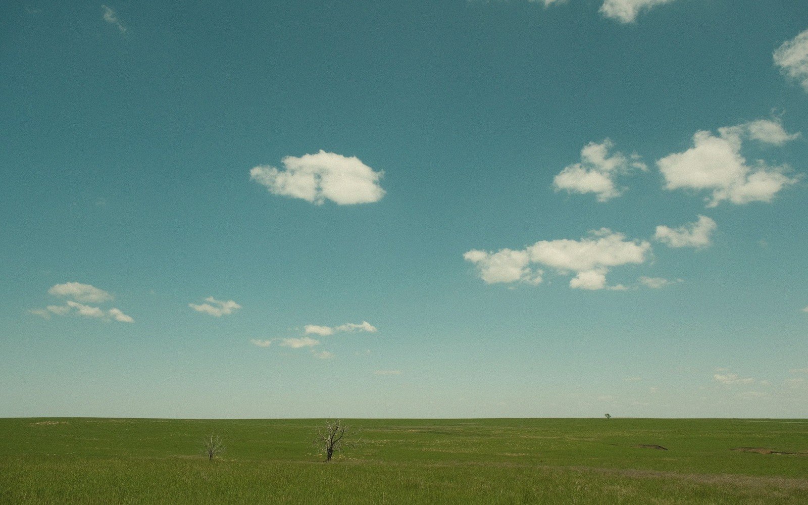
The transition into spring is not a gentle one. Across the plains east of the Missouri, the frozen ground begins to release moisture in late winter and early spring, and the result is a saturated, unstable landscape. Gravel roads that were hard as iron in January turn to gumbo — the local term for the wet, clingy, high-clay soil that grips tires and turns ordinary vehicles into deeply committed garden ornaments. Two-wheel-drive access to rural areas may be genuinely impossible for stretches of March and April. Locals plan accordingly; visitors should ask locally before attempting any unimproved route.
The Missouri River responds to snowmelt from the northern Rockies with a pulse of high water that crests weeks after it begins upstream in Montana and Wyoming. The bluffs above the river, already weakened by frost, are vulnerable to slumping. The prairie wetlands of the Coteau fill rapidly, and the pothole country of the northeast comes alive in a matter of days — the shallow depressions that were white ice circles through February become open water, and the birds are behind them almost immediately. Waterfowl migration over the eastern prairie in April and May is among the densest in the interior of the continent.
In the Black Hills, snowmelt feeds Rapid Creek and its tributaries; Rapid City, sitting at the foot of the Hills where the creeks emerge onto the plains, watches the water levels carefully. Wildflowers move upslope through May as the snowpack retreats — pasqueflowers first, the South Dakota state flower, pushing through ground that still holds frost at depth. In the Badlands, spring brings the brief window when the grass of the mixed-grass prairie surrounding the formations is genuinely green, a short-lived frame around the grey and pink of the walls.
- Late autumnprairie grasses flatten; sloughs and potholes freeze on the Coteau
- December–Februarypeak winter; blizzard season; ice formations in Spearfish Canyon
- March–Aprilthaw; gumbo roads; waterfowl migration over eastern prairie
- April–Maypasqueflowers bloom; snowpack retreats up Black Hills slopes
- July–Augustpeak heat; afternoon thunderstorm season; Badlands temperatures peak
- Septemberaspen turn in the Hills; bison rut in Custer State Park
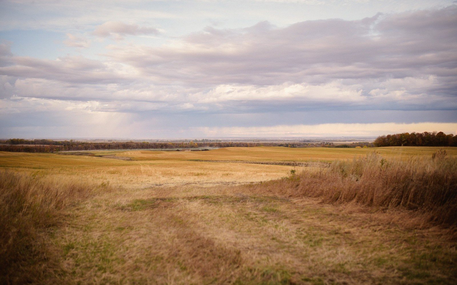
- Octoberpeak foliage in Spearfish Canyon; prairie grasses go gold
- Late Octoberfirst hard freeze on northern plains
04Summer: heat, thunderstorm, haze
Summer heat on the South Dakota plains is direct and unmediated. Relative humidity across the western two-thirds of the state tends to stay low even in July and August, which means the heat is bearable in shade and impossible in direct afternoon sun. The Badlands, where the dark formations absorb and radiate heat, can register air temperatures well above a hundred degrees Fahrenheit at midday. Any serious hike in the Badlands in July needs to be underway before eight in the morning and finished before the heat peaks.
The meteorological signature of summer here is the thunderstorm. The collision of warm, moist air pushing up from the Gulf of Mexico with drier air from the west produces storms that build visibly through the afternoon — the anvil-headed cumulonimbus columns that appear first as white towers on the horizon and then, within the hour, are directly overhead. Lightning on the open prairie and in the Hills is a genuine hazard; the Hills, with their elevated terrain, attract strikes with particular regularity. Hikers above treeline or exposed on ridgelines during a storm build-up should move to lower ground and do it early.
Hail is common, often large, and sometimes violent. Prairie hailstorms can strip crops and dent vehicles with no warning beyond the greenish sky that precedes them. In the Black Hills, flash flooding is a historical threat: the terrain funnels intense precipitation rapidly into narrow drainages. Spearfish Canyon and similar confined valleys fill quickly. The memory of the catastrophic 1972 flood in the Black Hills — triggered by extraordinary rainfall above Rapid City — remains part of regional weather culture, and the hydrology of those drainages is not to be underestimated.
The northern prairie and the Coteau stay busy with bird life through summer, the potholes hosting breeding colonies of ducks, avocets, and pelicans that most visitors from outside the region do not expect. The rolling, glacially scoured terrain of the northeast has a cool, spacious quality at dawn and dusk that the midday heat makes easy to forget.
05Autumn: the long exhale
Autumn arrives like a correction. After the extremity of summer, the cooling of September feels earned. The Black Hills turn first: the aspen groves along creek drainages go yellow in September, followed by the mixed hardwoods in Spearfish Canyon, which peak in October. The canyon is worth the detour at that time of year for the foliage alone, tucked between walls that compress and focus the colour.
Out on the prairie, the change is lateral rather than vertical. The grasses shift from green through gold and tawny red, the big bluestem and sideoats grama taking on warm tones. The light flattens and angles low earlier each afternoon, and the shadows grow long across the Badlands formations by four o'clock. Wildlife is visible: bison in Custer State Park are in rut through September, the prairie dog towns are busy, and pronghorn are moving across the open country in numbers.
Elevations, ages and distances here are approximate and given as published. Ground conditions change; the terrain descriptions do not.
06Ground named in this piece
Harney Peak
Seasons
highest point in the Black Hills, just above 7,000 feet
Coteau des Prairies
Seasons
glacially formed elevated plateau across northeastern South Dakota
Lake Oahe
Seasons
large Missouri River reservoir north of Pierre, significant for winter ice fishing
Spearfish Canyon
Seasons
limestone canyon in the northern Black Hills, known for ice formations and fall colour