01A Capital at the Crossing
Pierre — pronounced "Peer" by everyone who lives here — is the second-smallest state capital in the country by population, a fact that becomes immediately legible when you arrive. The downtown grid runs a few blocks deep, the gold dome of the State Capitol rises over a modest skyline, and the Missouri River lies at the western edge of it all, wide and deliberate.
The setting explains why the capital ended up here. The river was the corridor, and this bend offered a practical crossing point on the old route west. Fort Pierre, directly across the water on the west bank, preceded the capital town by decades — fur trade and army logistics before legislature and statute. The two communities remain linked by bridge today, separated by the river and a county line.
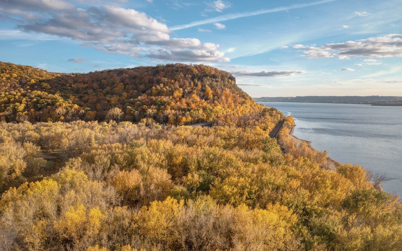
What rewards the traveller is the river itself. From the bluffs above Pierre, the Missouri reads as something genuinely immense: a broad, braided channel cutting through pale clay banks, cottonwood-fringed at the margins, the water carrying the colour of silt even in dry spells. The river that cuts the state in two shaped this ground over a long argument between current and sediment, and the bluffs make that argument visible. Drive or walk to the higher ground east of the capitol and the geometry of it opens out — the river bending south, Fort Pierre and its flat plains beyond, the water glinting against a largely treeless horizon.
Just north of town, the Missouri is held back by Oahe Dam, which impounds the Lake Oahe reservoir. The shoreline is irregular and wind-exposed, with open water stretching north from the dam for miles. Anglers work the margins for walleye and salmon; paddlers launch from the public access points; in spring and fall, waterfowl concentrate along the quieter coves.
Pierre's streets hold the particular character of a place that exists primarily because government required a fixed address. The Capitol building, completed in the early twentieth century, is genuine Beaux-Arts work on an otherwise unassuming grid — worth walking around for the proportions alone. The nearby Cultural Heritage Center, built partly underground into a hillside, houses the state historical and archaeological collections; its earth-sheltered form is a quiet piece of prairie architecture.
Elevations, ages and distances here are approximate and given as published. Ground conditions change; the terrain descriptions do not.
02Ground named in this piece
Pierre (city)
The Missouri River
South Dakota's state capital, on the east bank of the Missouri River
Fort Pierre (city)
The Missouri River
older settlement directly across the Missouri from Pierre, west bank
Lake Oahe
The Missouri River
reservoir formed by Oahe Dam, whose southern end lies just north of Pierre
State Capitol
The Missouri River
Beaux-Arts domed building, completed in the early twentieth century