01The Cut in the Rock
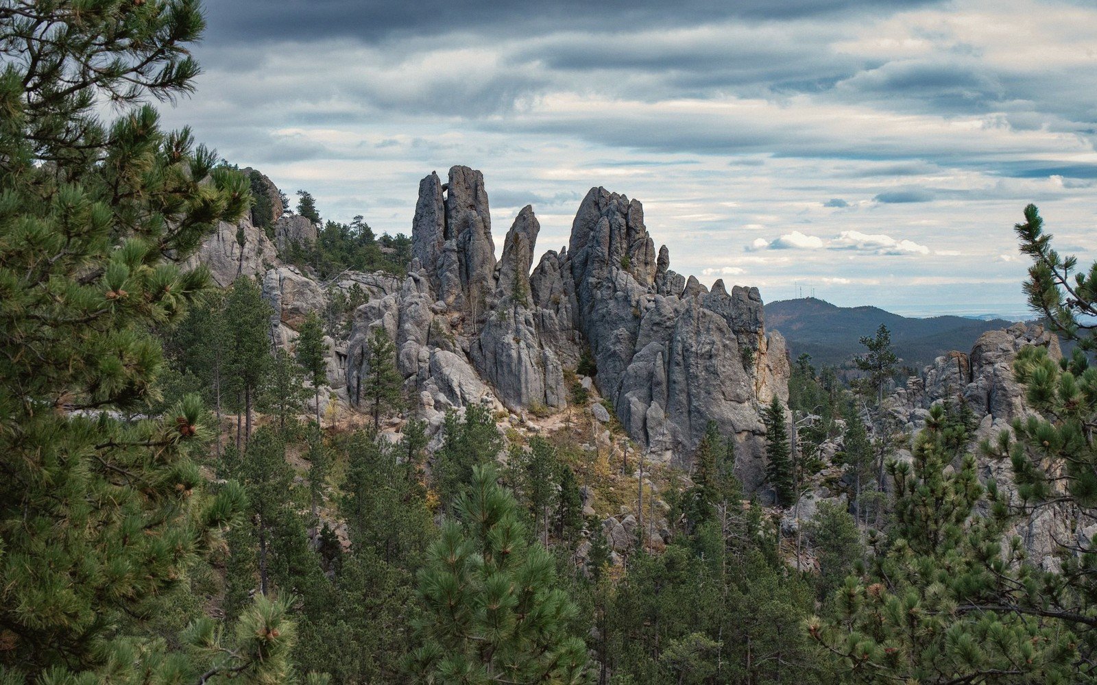
Spearfish Canyon is a canyon in the literal sense: narrow walls, a creek at the bottom, and almost no sky above the road. Spearfish Creek has been at work here for a long time, cutting down through Pahasapa Limestone — the same thick marine carbonate that underlies much of the central Black Hills — to expose walls that climb in places to around 1,000 feet above the canyon floor. The result is less a valley than a slot, and the U.S. Scenic Byway that threads through it (U.S. Highway 14A) earns that designation more completely than most roads given the label.
The canyon runs roughly south from the town of Spearfish to the high country near Cheyenne Crossing, a distance of about nineteen miles. Those miles pack in more vertical relief, more water and more geological variety than almost any comparable stretch in western South Dakota. The drive takes under an hour at a civilized pace; allow two to three if you intend to get out.
Spearfish itself sits at the northern edge of the Black Hills, where the hills drop sharply onto the plains. The creek exits the canyon here, losing elevation fast. Even in mid-summer, when the surrounding plains bake dry, the canyon stays measurably cooler, shaded by its own walls and by dense stands of white spruce, bur oak, cottonwood and birch — species that feel out of place until you remember that the canyon is effectively a different climate zone wedged inside a drier one.
By the numbers
02The Road South
Drive from Spearfish toward Cheyenne Crossing and the landscape commits quickly. The walls close in within the first two miles, the creek appears beside the road, and the light changes from open to filtered. This is a corridor drive, not a panorama drive: the view is always close, always vertical.
This is a corridor drive, not a panorama drive: the view is always close, always vertical.
Several pull-offs mark the canyon's most photogenic points. Roughlock Falls, a series of wide limestone ledges over which Little Spearfish Creek drops before joining the main creek, is the most visited. The falls are accessible via a short flat trail through spruce and birch; the ledges spread the water thin across broad rock shelves rather than sending it over a single lip, which produces a quieter, wider curtain of water than the name suggests. The falls carry their name from an old freighting practice: in winter, teamsters would "roughlock" wagon wheels — chaining them to prevent rotation — before descending the canyon's steep grades.
Bridal Veil Falls sits closer to the canyon wall itself, a slender drop down a limestone face visible from the highway. It runs best in spring and early summer; by late August a dry year can reduce it considerably. Both falls reward a visit in autumn, when the canyon's deciduous trees — the cottonwoods especially — turn fast and bright inside the narrow frame of the walls.
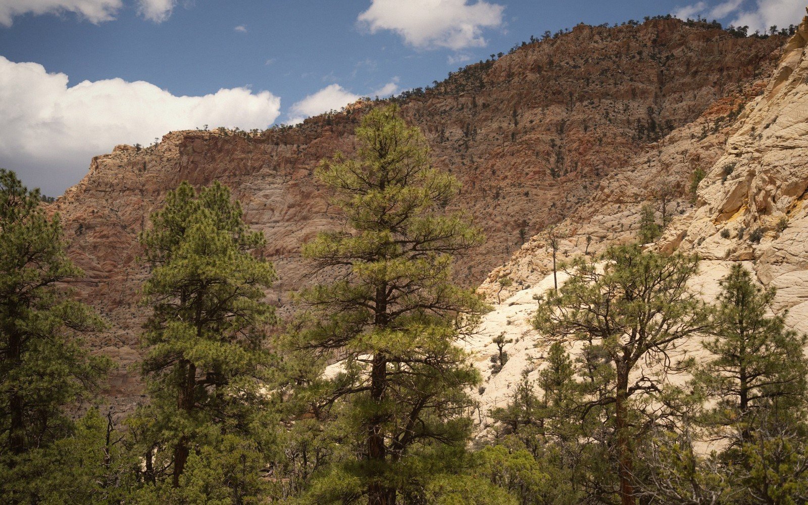
The limestone that dominates the walls is Mississippian in age, deposited in a shallow sea roughly 330 to 350 million years ago. Above it, in places, red Permian sediments appear — the Minnekahta and Opeche formations — giving the upper walls a warmer color that shifts with the light. The creek itself runs in places over older rock, and the gradient is consistent enough that the water moves with purpose all year, even in low-flow months.
Climbing toward Cheyenne Crossing, the canyon gradually opens. The walls pull back, the spruce give way to ponderosa pine, and by the time the road reaches the higher plateau the enclosed, almost subterranean feel of the lower canyon is gone. The transition from confined slot to open ponderosa country happens over roughly the last five miles and is worth watching.
03Seasons and Access
The canyon is passable by car year-round under normal conditions, but each season makes a different argument for the visit. Spring brings high water, the cottonwoods leafing out against gray limestone, and the falls at full flow after snowmelt. Summer is the most visited season; the canyon's shade makes it a reasonable escape from heat, though the road can be slow on weekends. Autumn is the strongest case: color peaks fast in late September to mid-October, the walls compress the color into a vivid tunnel, and the crowds drop after the first cold week. Winter brings ice formations on the canyon walls, frost-covered spruce, and a stillness that the busier seasons never quite achieve — though black ice on the road demands attention.
Elevations, ages and distances here are approximate and given as published. Ground conditions change; the terrain descriptions do not.
04Ground named in this piece
Spearfish Canyon
The Black Hills
limestone slot canyon in the northern Black Hills, cut by Spearfish Creek
Roughlock Falls
The Black Hills
cascades on Little Spearfish Creek, accessible by short trail
Bridal Veil Falls
The Black Hills
slender wall-face fall visible from U.S. 14A
Cheyenne Crossing
The Black Hills
small settlement at the southern/upper end of the canyon road