01A plateau that most travellers drive past without knowing it has a name
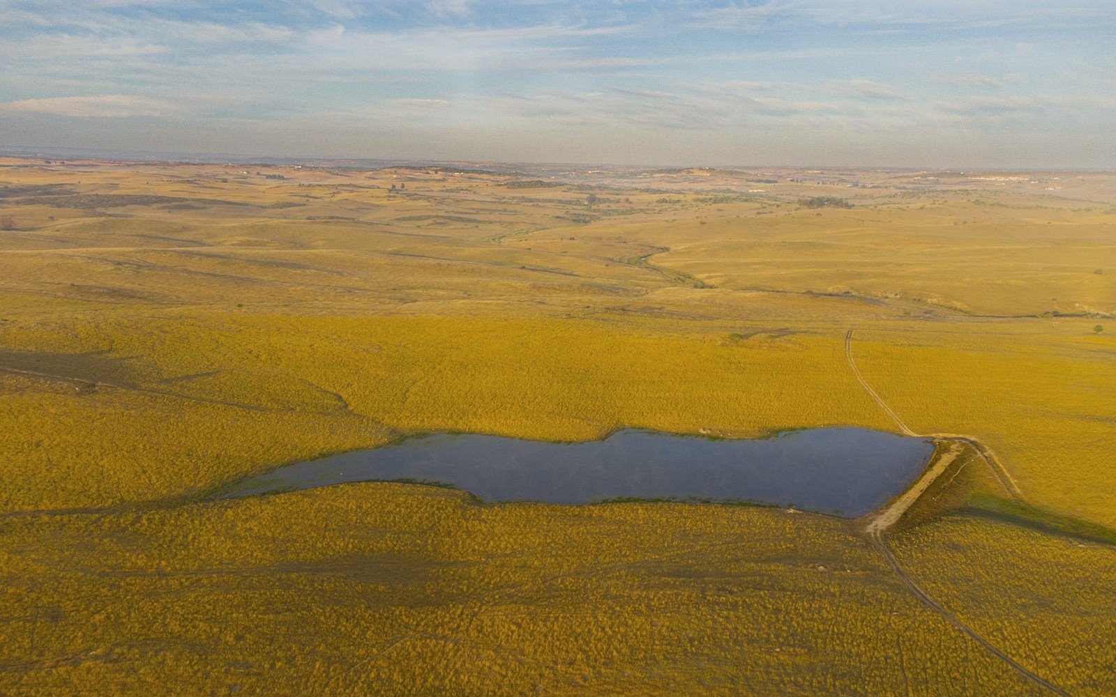
The Coteau des Prairies is the largest topographic feature in the Dakotas that most people cannot describe — or even locate — from memory. They cross it on Highway 12 or I-29 without registering that the ground beneath them is a tilted wedge of elevated terrain stretching roughly two hundred miles from northwest to southeast, from northeastern South Dakota into southwestern Minnesota and northwestern Iowa. French traders named it the "plateau of the prairies," and the name is accurate: this is a high, rolling tableland sitting above the surrounding lowlands on both flanks, its edges gradual enough that a driver doesn't feel a dramatic climb, yet its surface distinct enough that the sky seems to open differently once you're on top. The eastern escarpment drops toward Minnesota's Red River Valley; the western edge drains toward the James River lowlands. Between those two slopes lies a glaciated upland unlike anything else in the state.
Understanding the Coteau means understanding ice. The great Laurentide Ice Sheet advanced and retreated across this ground multiple times during the Pleistocene, and each cycle left deposits — till, outwash, moraines — that built up the plateau's surface and created the topography visible today. The Coteau sits so high partly because it functioned as a topographic divide that split the ice lobes advancing from the northeast; the lobes flowed around it, depositing material along its margins while the plateau top was repeatedly overridden. The result is a surface blanketed in glacial drift — clay-rich till, pockets of coarser outwash, isolated boulders called erratics that traveled here from exposures in Canada and have no geological business being this far south. The bedrock beneath is largely shale and sedimentary rock from the Cretaceous interior seaway, but you will almost never see it. The glacial overburden is tens to over a hundred feet thick in places, and it controls everything: drainage, soil chemistry, wetland distribution, land use.
By the numbers
02A landscape that holds its water
The defining character of the Coteau, once you learn to read it, is the wetland. Thousands of shallow depressions — potholes — dimple the plateau surface. These are kettle lakes and sloughs formed where buried blocks of glacier ice melted out after the main ice retreat, leaving bowl-shaped voids that collected water. Some are barely larger than a farm pond; others spread across tens of acres. They have no outlets. Rain and snowmelt that falls on the Coteau largely stays on the Coteau, percolating down through the till or evaporating, not draining away into rivers. This makes the plateau's hydrology almost entirely closed — a technical term with a landscape meaning you can feel standing at the edge of a cattail slough watching the water go nowhere.
This makes the plateau's hydrology almost entirely closed — a technical term with a landscape meaning you can feel standing at the edge of a cattail slough watching the water go nowhere.
The pothole country of the northern Coteau is among the most productive waterfowl breeding habitat on the continent. Ducks Unlimited and the U.S. Fish and Wildlife Service have spent decades working to preserve and restore these wetlands across northeastern South Dakota, particularly around Watertown and Aberdeen. The number of wetland basins on the Coteau runs into the tens of thousands when small seasonal potholes are counted alongside permanent lakes. Larger water bodies like Enemy Swim Lake, Pickerel Lake, and the cluster of lakes around Waubay represent the deeper end of the same kettle-lake spectrum — places where buried ice was thick and the resulting void is substantial enough to have held water through dry cycles that emptied smaller neighbors.
Waubay National Wildlife Refuge, in Day County, sits at the heart of this wetland complex and illustrates both the richness and the variability of the Coteau. Lake levels at Waubay and surrounding basins have swung dramatically over decades — dry periods in the mid-twentieth century exposed lakebed; wetter cycles since have reflooded areas that once supported agriculture. The Coteau doesn't hold a steady state. It responds to precipitation cycles at a scale that makes normal river-valley hydrology look simple, and a decade of above-average snowpack or rainfall can raise lake levels by several feet and shift the boundary between wetland and prairie across substantial ground.
03On the surface: glacial erratics, prairie and the weight of sky
Travel the Coteau by secondary road rather than highway and the surface reveals itself at a different pace. The terrain rolls without the jagged drama of moraines farther east; the glacial deposits here were reworked by multiple advances into a smoother, rounder topography — what geologists call a till plain interrupted by kettles. Shallow ridges separate one drainage basin from the next. In the sloughs between, cottonwoods and willows mark wet margins. On drier ground, native mixed-grass prairie survives in patches — where cultivation never took hold because the soil was too wet, too stony, or the slope too awkward for a machine. These remnant patches matter ecologically far beyond their size, holding plant communities — western wheatgrass, green needlegrass, sedges — that have been continuous on this ground since the glaciers left.
Erratics punctuate the landscape at intervals, sometimes alone in a field, sometimes clustered where a moraine ridge concentrated them. The largest are quartzite and granite, carried by ice from Canadian shield exposures hundreds of miles to the north. They sit with a self-contained indifference to the surrounding till, too heavy for most early farmers to move, too hard to break economically. Many became landmarks — corner markers, meeting points — before GPS made such things unnecessary, and they remain the most visible evidence of the Laurentide Sheet's reach if you know what you're looking at.
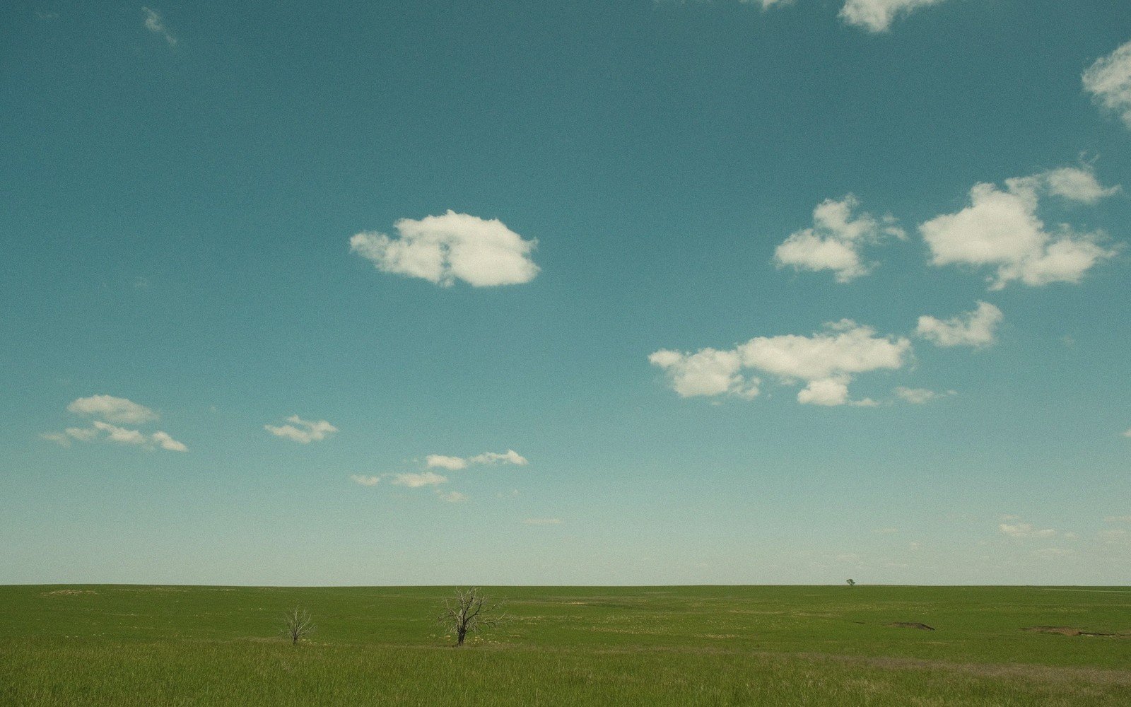
The sky on the Coteau carries its own quality. The plateau elevation — generally between 1,700 and 2,000 feet in South Dakota — is not dramatic in absolute terms, but combined with the flat or gently rolling surface and the almost complete absence of tree cover on upland ground, the horizon is nearly unbroken. Clouds develop and move across this terrain with a legibility impossible in more sheltered landscapes; a weather system approaching from the northwest is visible long before it arrives. In late spring and early summer, that visibility is not merely aesthetic — the Coteau sits in a region where severe convective storms develop with speed, and reading the sky is a practical skill here, not a poetic one.
- PleistoceneLaurentide Ice Sheet advanced and retreated across the Coteau multiple times
- post-glacial (roughly 10,000 years ago)buried ice melted out, forming kettle lakes and potholes
- mid-twentieth centurydry cycles lowered Waubay-area lake levels, exposing lakebed
- recent decadeswetter cycles have reflooded areas previously under cultivation
04Access and travel
The Coteau is not a park or a monument; it has no entrance and no single interpretive pull-off. Access is through the ordinary road network of northeastern South Dakota — state highways, county gravel roads, and the federal wildlife refuges scattered across its surface. Aberdeen, the largest city in the region, sits on the western edge where the plateau begins to descend toward the James River lowland; Watertown anchors the southeastern margin. Between them, and to the north toward the North Dakota line, the plateau opens up across Codington, Clark, Day, Marshall, and Roberts counties.
The best travel is slow. Secondary gravel roads cross terrain that blacktop doesn't reach, and the difference matters: at speed on a highway, the Coteau reads as flat farmland interrupted by occasional water. At twenty-five miles an hour on a county road in early morning, it reads as a glacial landscape still in the process of settling into itself — lakes rising and falling with wet and dry cycles, wetlands appearing in low spots that were dry a decade ago, erratic boulders sitting where ice left them ten thousand years before the road was graded. The light in May, when the sloughs are full and migratory birds are moving through in numbers that can make a cattail marsh sound implausibly loud, is as good as this part of the state gets.
Elevations, ages and distances here are approximate and given as published. Ground conditions change; the terrain descriptions do not.
05Ground named in this piece
Coteau des Prairies
Prairie & Coteau
glaciated plateau spanning eastern Dakotas and into Manitoba; French: "plateau of the prairies"
Waubay National Wildlife Refuge
Prairie & Coteau
federal refuge in Day County, SD, at the heart of the wetland complex
Aberdeen
Prairie & Coteau
largest city on the western edge of the Coteau, James River lowland margin
Watertown
Prairie & Coteau
city anchoring the southeastern margin of the Coteau