01A circuit through the granite heart of the Hills
The southern Black Hills contain one of the better driving circuits in the Great Plains states — a loop that moves through granite spires, mixed-conifer forest, high meadow and open grassland without ever requiring a detour or backtrack. The route centers on Custer State Park and the roads that knit it together: Iron Mountain Road, the Wildlife Loop Road, and the Needles Highway (South Dakota 87), each a distinct piece of engineering threaded through radically different terrain.
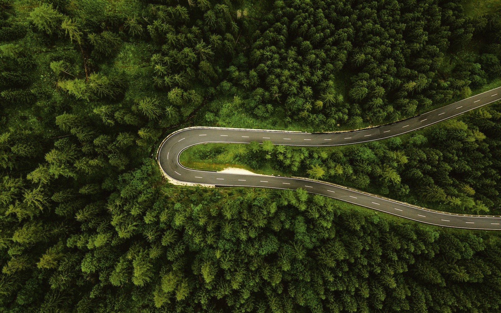
Iron Mountain Road, US 16A, climbs from Keystone into the park through a series of tight switchbacks and three single-lane pigtail bridges — spiral overpasses that gain elevation without requiring the aggressive grades a straight climb would demand. The bridges were engineered during the New Deal era and remain in use today, narrow enough that large RVs and vehicles towing trailers face hard limits. The road frames Mount Rushmore in its tunnel portals by design: the alignment was deliberate, each opening framing the monument at a fixed distance across the valley. It is the kind of road built to be experienced slowly.
Coming off Iron Mountain, the terrain opens. The Wildlife Loop Road runs roughly eighteen miles through the eastern grassland of Custer State Park — rolling, buffalo-grass prairie dotted with granite outcrops and ponderosa pine. American bison range this ground freely, and encounters are common enough that stopping distances matter. Prairie dog towns punctuate the corridor, and pronghorn work the open draws. The Wildlife Loop is the one section of the circuit where the sky takes over from the rock, and the scale shifts accordingly.
The western leg of the loop, Needles Highway, is the most dramatic piece of road in the Hills. The route winds through the Harney Peak formation — more precisely, through the eroded granite remnants of the core uplift, where 1.7-billion-year-old Precambrian granite has been exposed, weathered and left standing as narrow spires and fins. The Needles Eye, a slot barely wide enough for a standard passenger vehicle, is one of several single-lane tunnels blasted through standing rock. The highway requires patience and attention; passing in the tunnels is impossible, and there are pull-outs for good reason.
At the northern terminus of the Needles Highway sits Sylvan Lake, a small reservoir impounded in a granite bowl that has served as the park's visual signature for well over a century. The lake sits just below the trailhead for Black Elk Peak — at 7,242 feet, the highest summit in the United States east of the Rocky Mountains. The summit trail involves a few miles of moderate hiking through forest and exposed granite before breaking out onto the stone fire lookout tower at the top, where the view on a clear day reaches into four states.
The full circuit — Iron Mountain Road, Wildlife Loop, Needles Highway — can be driven in a few hours if that is all you are after. Better to allow a full day. The pigtail bridges reward a slow walk; the bison herd may hold you on the Wildlife Loop longer than you planned; the Needles tunnels warrant stopping on either side to read the rock. Custer State Park charges an entrance fee and issues an annual state park pass that also covers other state parks. Iron Mountain Road closes in winter, as do the tunnels on the Needles Highway; the Wildlife Loop typically remains accessible but conditions vary with snowfall.
By the numbers
- 3 New Deal erapigtail bridges engineered and built on Iron Mountain Road
Elevations, ages and distances here are approximate and given as published. Ground conditions change; the terrain descriptions do not.
02Ground named in this piece
Custer State Park
The Black Hills
large South Dakota state park in the southern Black Hills
Needles Highway (SD 87)
The Black Hills
narrow mountain road through granite spires in Custer State Park
Iron Mountain Road (US 16A)
The Black Hills
switchback highway connecting Keystone to Custer State Park, noted for pigtail bridges
Sylvan Lake
The Black Hills
granite-bowl reservoir at the north end of Needles Highway; trailhead for Black Elk Peak