01The Missouri is not easily ignored
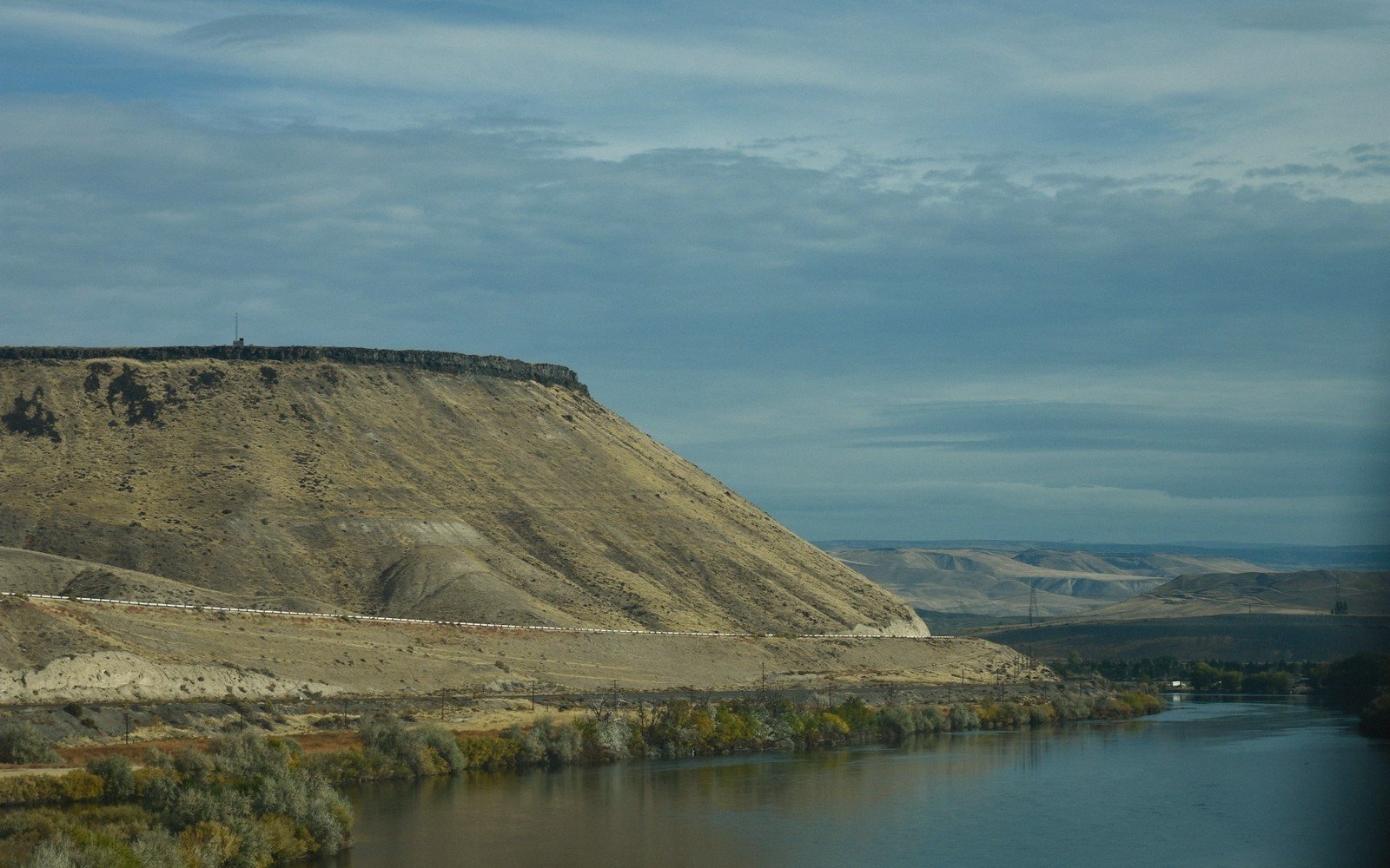
The Missouri River bisects South Dakota with a finality that surprises first-time travelers. East of it: glacial till, potholes, cultivated fields, a gentler sky. West: shortgrass range, buttes, the Black Hills on the horizon. The river itself is wide, deliberate and lake-slow through much of the state, impounded behind a chain of dams that turned a muscular prairie river into a series of long reservoirs. Crossing it is not incidental — it is a genuine passage between two different landscapes.
02The crossings
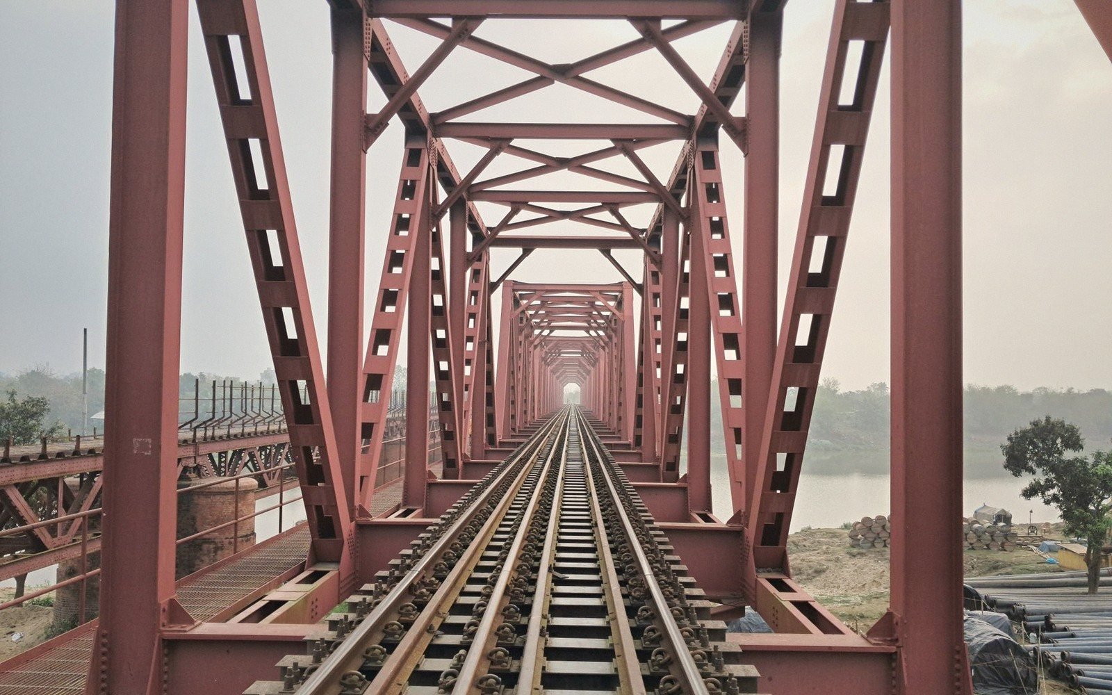
Bridges are fewer than the map suggests. Interstate 90 crosses at Chamberlain, where the river runs between bluffs and the view from the bridge is the best argument for slowing down. US-83 crosses at Pierre, the state capital, connecting the eastern and western halves of the state — this is the practical crossing for travelers moving between the Badlands and the Coteau. US-12 crosses at Mobridge, well to the north, serving the upper reservoirs and the Standing Rock country. A handful of smaller bridges exist, but long stretches of the river offer nothing, and a missed crossing can mean an hour or more of backtracking.
A handful of smaller bridges exist, but long stretches of the river offer nothing, and a missed crossing can mean an hour or more of backtracking.
Lake Oahe, the reservoir behind Oahe Dam just north of Pierre, is so wide in places it reads less like a river than an inland sea. At its broadest it spans several miles, and the sheer scale reframes what a "crossing" means — the bridge at Pierre vaults over water that has no visible current and no obvious bank structure on the western side.
Elevations, ages and distances here are approximate and given as published. Ground conditions change; the terrain descriptions do not.
03Ground named in this piece
Chamberlain
The Missouri River
small city on the Missouri, I-90 crossing point, eastern edge of the river corridor
Pierre
The Missouri River
state capital, US-83 crossing, sits directly on the Missouri's eastern bluff
Mobridge
The Missouri River
northern Missouri crossing on US-12, upper reservoir country
Lake Oahe
The Missouri River
reservoir behind Oahe Dam north of Pierre, one of the largest reservoirs in the US