01The Invisible Boundary
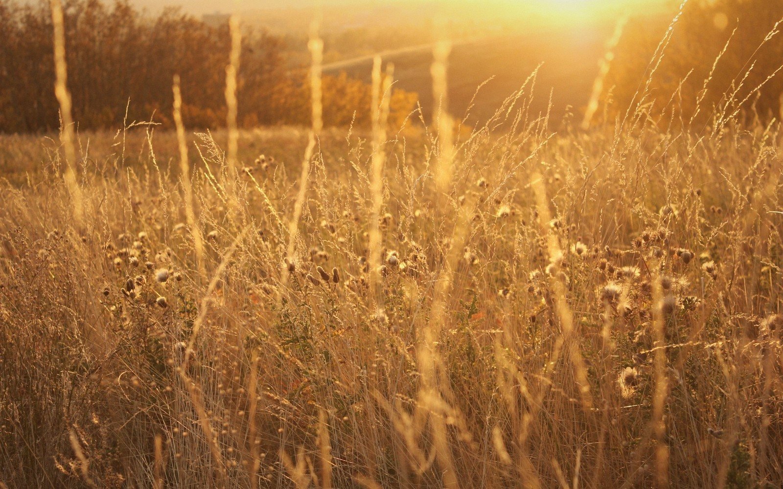
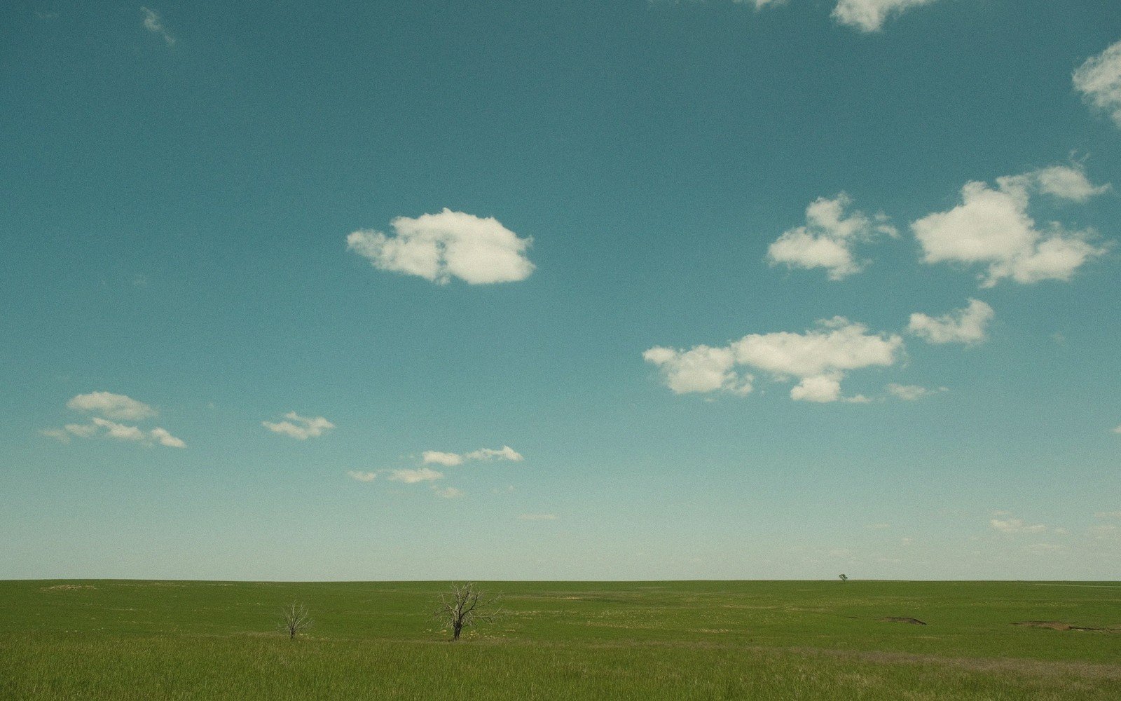
Drive east from the Black Hills and watch the ground. The grasses that stitch the hillsides together west of the Missouri — blue grama, buffalo grass, western wheatgrass — grow low and fine, cropped-looking even without livestock, adapted to eleven or twelve inches of annual rain. This is the mixed-grass and shortgrass range that sweeps from the Rockies, and in South Dakota it covers the western half of the state in a tight, pale weave.
Cross the Missouri at Chamberlain or Pierre and the texture shifts. The stems get taller, the stands denser. By the time you reach the Coteau des Prairies or the fields around Watertown and Aberdeen, you are in a different grassland type altogether — a world of big bluestem, switchgrass and indiangrass that historically could reach head height in a wet summer. The same sun, more rain: the mean annual precipitation climbs toward twenty inches and beyond as you travel east, and the grass answers accordingly.
The line is not a cliff edge. There is a transition zone, a broad smear where the two systems intergrade across roughly the middle third of the state. The native mixed-grass prairie that once covered much of this corridor is now heavily broken by cultivation, but where remnants persist — along road margins, in ungrazed pastures, in the draws — you can still see the blending: side-oats grama among stands of little bluestem, tall species growing shorter than they would farther east, short species reaching higher than they would in the arid west.
By the numbers
02What Changes With the Grass
The soil is a signal as much as the vegetation. Shortgrass and mixed-grass country rides on thinner, drier soils — the brown and chestnut soils of the High Plains, productive enough for ranching but limited for row crops without irrigation. Step into eastern South Dakota and the soil darkens and deepens. The glaciated terrain of the Coteau des Prairies and the surrounding drift plains sits on some of the most carbon-rich soils in the world — thick mollisols built up by millennia of tallgrass roots dying and decomposing in a cycle that stored organic matter faster than it could break down.
That soil depth is why the east broke to the plow and the west did not, and that history is written in the landscape you see from the highway today. Western South Dakota is ranching country, largely unfenced and unbroken in its topography. Eastern South Dakota is farm country, the native grassland reduced to fragments between corn and soybean fields, the potholes of the Coteau holding on where the ground is too wet or rough to cultivate.
Western South Dakota is ranching country, largely unfenced and unbroken in its topography.
Wildlife tracks the same boundary. Pronghorn and mule deer belong to the shortgrass west. White-tailed deer, waterfowl and the shorebirds that stage on the pothole wetlands cluster in the east. The grassland bird communities diverge too — chestnut-collared longspurs on the western range, bobolinks and Henslow's sparrows where the tall grass survives. Each species is, in a sense, a field indicator of where you stand on the moisture gradient.
Elevations, ages and distances here are approximate and given as published. Ground conditions change; the terrain descriptions do not.
03Ground named in this piece
Chamberlain
Prairie & Coteau
Missouri River crossing town, roughly the state's geographic and climatic midpoint
Pierre
Prairie & Coteau
state capital on the Missouri, near the shortgrass/mixed-grass transition
Coteau des Prairies
Prairie & Coteau
glaciated plateau across eastern South Dakota and into neighboring states
Watertown / Aberdeen
Prairie & Coteau
eastern South Dakota cities well within the taller-grass, higher-rainfall zone