01What the Weather Actually Does
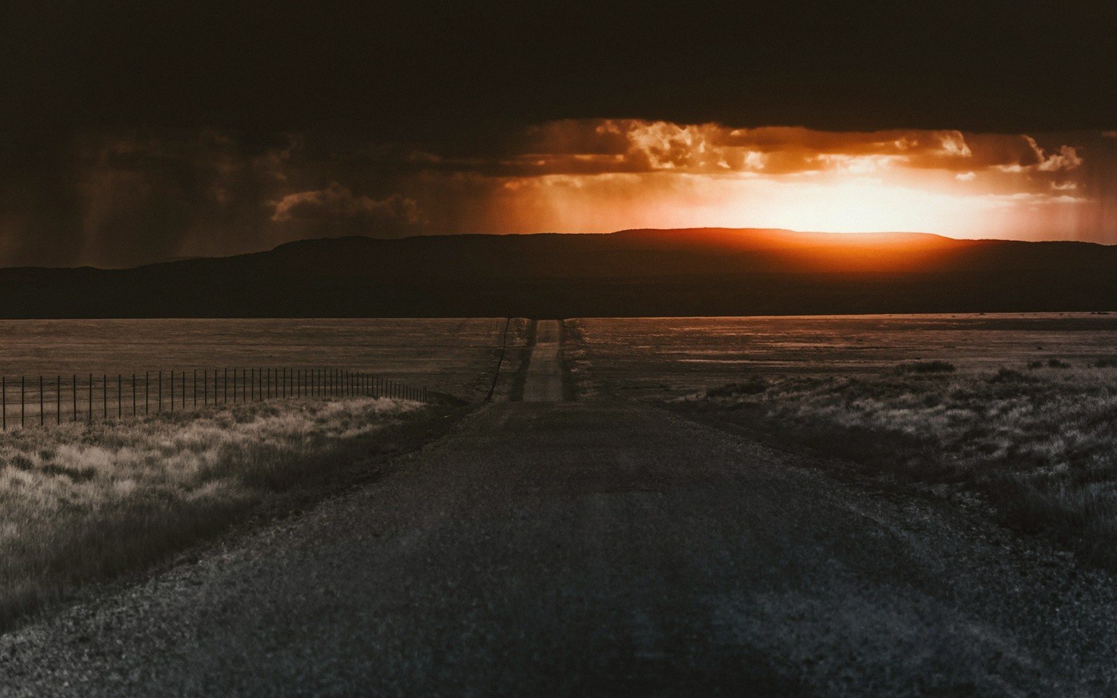
Winter in South Dakota is not a single condition. It is a sequence of states — cold and clear, then blowing, then locked, then briefly mild, then locked again — and the sequence does not follow a schedule. The plains west of the Missouri can sit under brilliant sun at ten below zero while a ground blizzard obliterates visibility on the same highway twenty miles east. The Black Hills generate their own weather, squeezing moisture from westerly air and dropping heavy snow on the higher elevations while Rapid City, at the base of the hills, gets a Chinook and bare pavement. Nothing here is uniform.
Ground blizzards deserve particular attention because they confound visitors who arrive expecting snow to fall before it blows. In this kind of storm, the sky is often partly clear. The snow is already on the ground; wind simply picks it up and drives it horizontally across the road surface at waist height or lower. Visibility can drop to near zero in seconds, with no warning from the sky above. The phenomenon is most intense on the open plains east of the Missouri, on the Coteau des Prairies in the northeast, and on the long unbroken corridors of I-90 between Chamberlain and the Wyoming line. The road surface disappears. The shoulders disappear. Cars that were ahead of you disappear.
The South Dakota Department of Transportation runs a road conditions system — SD511 — that reports closures, restrictions and travel advisories by route. In a serious storm, entire stretches of interstate are closed and access points are gated. These closures are enforced, not advisory. Attempting to drive a closed corridor in the belief that modern vehicles or local knowledge will see you through is the decision that fills the ditch reports.
By the numbers
02What Closes and What Stays Open
The pattern of what remains accessible in winter is more useful to internalize than any list of individual roads.
The pattern of what remains accessible in winter is more useful to internalize than any list of individual roads.
The interstate system — I-90 east-west, I-29 along the eastern edge of the state — carries the highest priority for plowing and treatment, but both close in significant storms. US-14, US-16 and SD-44 through the Badlands corridor are maintained but more exposed than the interstate and can become impassable without warning. The road into Badlands National Park itself stays open in most conditions, but the stark topography offers no shelter from wind, and drifting closes individual stretches for hours at a stretch.
Spearfish Canyon, threaded between limestone walls along US-14A, holds snow longer than exposed routes but benefits from its shelter; it is often passable when the plains above are not. The canyon road can also ice heavily in the freeze-thaw cycling that comes with Chinook events, when warm air pours down off the hills and then temperatures crash overnight.
Custer State Park roads are maintained but some interior routes close seasonally. Wind Cave and the park complex around it remain accessible through winter; the bison and pronghorn are often easier to spot in snow when vegetation is low. US-385, the north-south spine through the Black Hills, is a priority route but gains significant elevation between Hill City and Deadwood, and compact snow and ice are routine conditions rather than exceptions.
East of the river, the character of winter driving changes. Distances between towns grow. The Coteau country north of Watertown and Aberdeen is agricultural land with minimal topographic shelter, and the roads through it — straight, flat and fully exposed — are where ground blizzards do their worst work. Fuel and services thin out. The calculation for driving here in a deteriorating forecast is not whether your vehicle can handle it; it is whether you want to be the car they find in the ditch when the storm passes.
03Practical Shape of a Winter Visit
Pack for the vehicle as much as for the destination: blankets, water, a shovel, traction aids, a charged power bank. These are not dramatic preparations; they are simply the minimum the terrain requires. Rental vehicles returned with bald all-season tires have ended trips early more than once.
Cell coverage on the plains can be thin in clear weather and essentially absent in a whiteout. Download offline maps and the SD511 app before leaving any town of size. Pierre, positioned near the center of the state on the Missouri, functions as a useful pivot for winter travel — a place to wait out a storm, reassess the forecast and hold the itinerary lightly.
Distances here are approximate and given as published. Ground conditions change; the terrain descriptions do not.
04Ground named in this piece
South Dakota Department of Transportation
Seasons
state agency managing road maintenance, closures and SD511 reporting
Coteau des Prairies
Seasons
elevated glacial plateau in northeast South Dakota; highly exposed to ground blizzard conditions
Pierre
Seasons
state capital on the Missouri River; useful staging point for winter travel decisions
Spearfish Canyon
Seasons
sheltered limestone canyon carrying US-14A; often passable when surrounding plains are not