01A line drawn in stone and water
South Dakota is two states sharing a name. East of the Missouri, the land is glaciated, flat, riddled with wetland depressions, and composed of rich drift soil laid down by ice sheets that retreated roughly ten thousand years ago. West of the river, the terrain is older, drier, more eroded, and fundamentally different underfoot — Pierre Shale and Fox Hills sandstone rather than glacial till. The river that divides them is not incidental to this difference; it enforces it. The Missouri is the boundary because it was already the edge of something, a hard seam between two geologic histories, long before anyone drew a map.
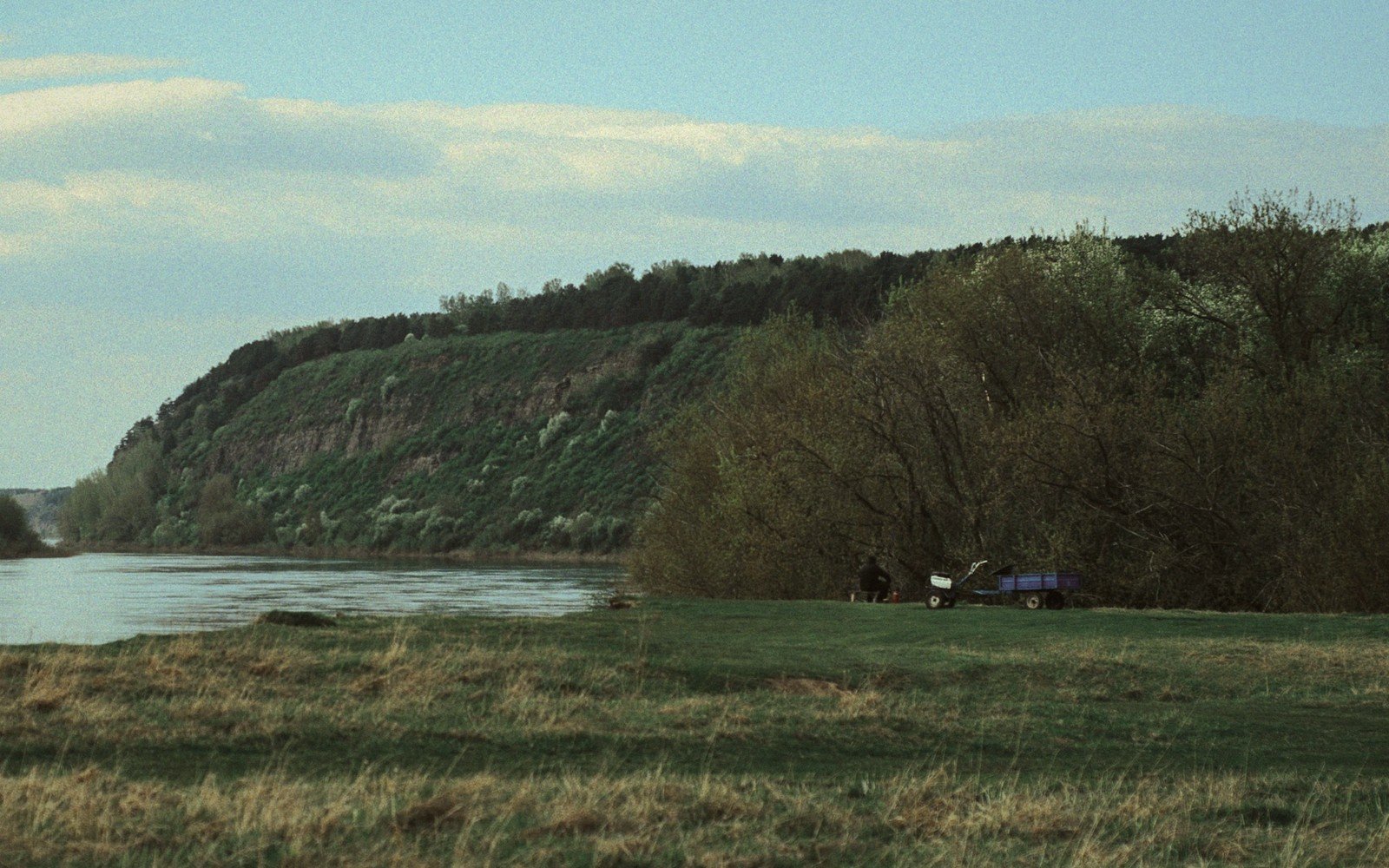
The river enters South Dakota from the north near Mobridge and exits at Yankton in the southeast, cutting a diagonal roughly four hundred miles across the state. It does not meander timidly across flat land. Through most of its South Dakota course it occupies a trench of its own making, flanked by bluffs that rise one hundred to three hundred feet above the water and extend for miles back from the channel in terraced benches and broken draws. From the road or from the water, the effect is of moving through a canyon that is wide enough to hold weather of its own. Light changes inside it. Wind stalls or accelerates unpredictably along the walls. In autumn, cottonwood stands in the bottomland go a deep butter-gold that the bluffs above them, grey and treeless, make vivid by contrast.
Those bluffs are the Missouri's autobiography. Where the river cut through softer materials — the dark, fissile Pierre Shale that underlies much of the west-river country — the walls weathered back into broad, rounded shoulders. Where it encountered harder sandstone lenses, they held their angles and now stand as irregular ledges and exposed caprock. The shale itself tells an older story: it was deposited on the floor of the Western Interior Seaway, the shallow inland sea that split North America during the Late Cretaceous, roughly eighty to sixty-six million years ago. Swimming above that seafloor were mosasaurs and plesiosaurs; settling to its bottom were the remains of ammonites and clams whose fossils still erode out of the bluff faces today. A careful eye on freshly slumped shale will sometimes find a coil of shell or a vertebra no one has touched since the sediment closed over it.
By the numbers
02The dams and what they made
The Missouri of the twenty-first century is not the river that carved those bluffs. Beginning in the early 1950s, the Army Corps of Engineers and the Bureau of Reclamation executed the Pick-Sloan Plan, a sweeping program of dam construction that transformed the upper Missouri into a staircase of reservoirs. South Dakota holds four of the six main-stem Missouri River dams: Oahe, Big Bend, Fort Randall, and Gavins Point. Together, the reservoirs they created — Lake Oahe above Pierre being the largest, stretching nearly two hundred miles north — contain a volume of water that fundamentally altered the river's behavior, its ecology, and the lives of the communities that had settled its banks.
South Dakota holds four of the six main-stem Missouri River dams: Oahe, Big Bend, Fort Randall, and Gavins Point.
The physical consequence most visible to a traveler is the shoreline. Where the reservoirs back up, they have flooded the old river bottomland — the willow and cottonwood forest, the productive silty soil, the low terraces. What they left exposed above the water line are the bluffs in raw form, their lower slopes cut by wave action into miniature cliffs that continue reshaping themselves with every windstorm and every fluctuation in pool level. The old Missouri channel beneath the reservoir water is still there, buried under sediment now, but the bluffs above it remember its course. You can trace the river's former meanders by following the way the hills wrap and recurve.
Below the dams, the river runs unnaturally clear — stripped of the sediment load it once carried — and in some stretches the channel has actually degraded downward over decades, cutting into its own bed because it is hungry for material it no longer receives. The downstream banks erode; the sandbars that once characterized the free-flowing river have diminished or disappeared. This sediment starvation is a documented phenomenon on dam-regulated rivers worldwide, and the Missouri in South Dakota is one of the plainer American examples.
Pierre, the state capital, sits on the east bank near the southern end of Lake Oahe, where the bluffs come close to the water on the west side and the hills behind town are steep, grass-covered, and cut by dry coulees. The setting is one of the more dramatic of any state capital in the country — not a prairie flatland but a river terrace town with genuine elevation change visible in every direction. Standing on the bluffs west of the river and looking east, you see a wide valley, the water, and then the far hills stepping up toward the Coteau, the whole assembly enormous and quiet.
03Reading the ground from the water down
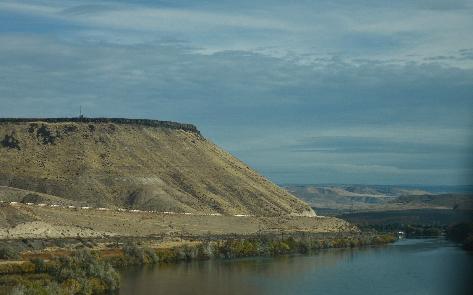
The bluffs repay attention at several scales. From a distance, from a highway viewpoint or a boat, you read them as silhouettes — layered, eroded, occasionally punctuated by a band of lighter sandstone or a dark seep that stains the face below it. Up close, the shale reveals its laminar structure: thin beds of dark grey rock alternating with lighter layers, each one representing a seasonal or longer pulse of deposition on that ancient seafloor. The shale is soft enough that a hand can crumble fresh exposures, and this softness is why the bluffs are still moving. Freeze-thaw cycles wedge apart the laminations; rain sheeting down an unprotected face strips a paper-thin layer each season. These walls are not stable — they are geological process caught mid-sentence.
In the draws and ravines that incise the bluff face, springs sometimes seep from sandstone lenses sandwiched in the shale. These wet patches support vegetation the surrounding slope cannot — grasses, sedges, occasional shrubs — and they give the bluffs a patchy, irregular aspect when seen in summer. The same springs made the Missouri valley habitable long before any settlement. Water, shelter from prevailing winds, firewood from cottonwood stands, and the river itself for transport and food concentrated people here for millennia. The Lakota called the Missouri the Mnišoše — the water that is always moving, turbid with the silt that defined the free-flowing river. The name predates the dams and describes something that no longer exists in quite the same form, which gives it the quality of a record.
Where the terrain permits road access to the water — and it often doesn't; the bluffs protect the river from casual approach — the scale becomes abruptly clear. The river channel, even below the dams where it is narrowed and regulated, runs wide by the measure of most American rivers. Standing on a gravel bar or a low bank, you are at the bottom of a canyon measured in miles rather than feet, looking up at walls that rise in steps and vanish into sky. The cottonwoods around you — these are eastern cottonwoods, Populus deltoides, the dominant bottomland tree — are old and large, their grey corrugated bark a texture as distinct as the shale above. In spring high water, the river comes for some of them; by midsummer, the same bar is dry and cracked, the contrast in seasonal character as extreme as the terrain.
Chamberlain sits near the geographic center of this river corridor, where I-90 crosses the Missouri on a bridge that provides one of the best accessible views of the bluffs from a moving vehicle. The transition from east-river to west-river here is almost comically abrupt from the road: flat, open cropland, then the descent into the valley, the bridge, the rise out the other side, and then an immediately different landscape — rougher, drier, less cultivated. The bluffs here are among the tallest accessible from an overlook, and in evening light they go a warm ochre that the river mirrors.
- ~80–66 million years agoWestern Interior Seaway deposits Pierre Shale
- ~10,000 years agoglacial retreat defines east-river landscape
- Early 1950s onwardPick-Sloan dams constructed; reservoirs fill
Elevations, ages and distances here are approximate and given as published. Ground conditions change; the terrain descriptions do not.
04Ground named in this piece
Pierre
The Missouri River
South Dakota state capital; east-bank river terrace city near Lake Oahe's south end
Chamberlain
The Missouri River
Missouri River town where I-90 crosses; strong bluff viewpoint
Lake Oahe
The Missouri River
largest Missouri reservoir in South Dakota, backed up nearly 200 miles above Pierre
Army Corps of Engineers
The Missouri River
federal agency co-executing dam construction on upper Missouri