01Reading the Flatness
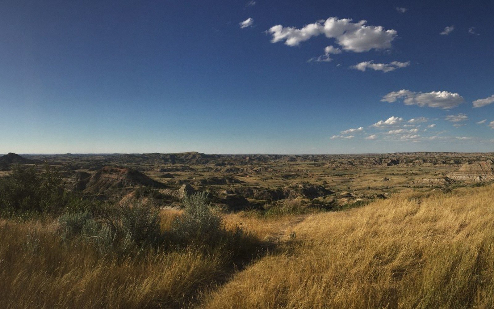
From a car window on US-12 or SD-15, the northern tier of South Dakota can look like an endurance test — a long, level run of sky and crop stubble before the land does something interesting. That reading is wrong, and it costs most people the best part of the state.
The apparent flatness has a history written in ice. The Coteau des Prairies, the great elevated plateau that rises in the northeast and runs south through Watertown and beyond, is not natural prairie at all in the geological sense — it is glacial till, bulldozed and deposited by the Laurentide Ice Sheet. The coteau sits several hundred feet higher than the James River lowlands to its west, a fact that highway grades disguise almost entirely. Stand on the coteau's edge near Watertown and the view west opens across the James River valley in a long, slow drop that makes the "flat" label feel absurd.
The James River itself, threading south through Aberdeen toward the Missouri, is one of the longer prairie rivers on the continent. It moves slowly — the James has almost no gradient across its course through South Dakota — and in spring it spreads wide and brown across its floodplain, leaving behind dense sedge and cattail margins that are anything but agricultural. The bottomlands smell of mineral mud and old grass. The uplands above them smell of nothing at all, which is its own kind of presence.
02The Ground Itself
What the ice left behind was not flat so much as textured, at a scale that only makes sense on foot or from a slight rise. Pothole lakes and prairie wetlands pock the surface of the coteau in their thousands — shallow depressions where the glacial till holds water through wet seasons, dries to cracked grey mud in drought years, and comes back to life each spring as waterfowl and shorebirds find them again. Around Aberdeen and east toward Watertown, these are not scenic destinations on the tourist circuit; they are simply the landscape, unremarked by most travellers and extraordinary by any measure.
What the ice left behind was not flat so much as textured, at a scale that only makes sense on foot or from a slight rise.
The soils here are deep. The dark, organic-rich prairie soils that make this region among the most productive dryland farmland in North America were built over thousands of years by the decomposition of native grasses — a depth of biological time that the cropped surface doesn't suggest. Remnant native prairie still survives in road margins, in ungrazed corners, and in patches that were simply too wet or too stony to plow. In these remnants, the grass community shifts with moisture and elevation in ways that are precise and readable once you know what to look for: western wheatgrass in the drier uplands, switchgrass and big bluestem where the soil holds more moisture, cordgrass and sedge in the lowest swales. The distinction between short-grass and tall-grass prairie runs roughly north-south across the state, but in the northeast the tall-grass species push west farther than most maps suggest, following the wetter, glacially influenced terrain.
Geology here is buried but not absent. The bedrock across the northern prairie is largely Cretaceous shale — the same dark marine sediment that outcrops spectacularly in the Badlands — but here it lies under fifty to a hundred feet of glacial drift and topsoil, invisible unless a gravel pit or road cut exposes it. The surface world of the northern prairie is entirely a glacial world, shaped in the last twelve thousand years or so, which makes it young by any comparison to the Black Hills or the Badlands.
03How to Travel It
The towns along this stretch — Aberdeen, Watertown, Redfield, Groton — are working agricultural cities, not tourism infrastructure. That is part of their appeal. Aberdeen, the largest, sits in Brown County and functions as the commercial hub of a very large region; it has services, fuel and food without pretension. The small towns between them have grain elevators, cafes and, occasionally, a well-maintained city park beside one of the prairie lakes that sit right at the edge of town, as unremarkable and beautiful as furniture.
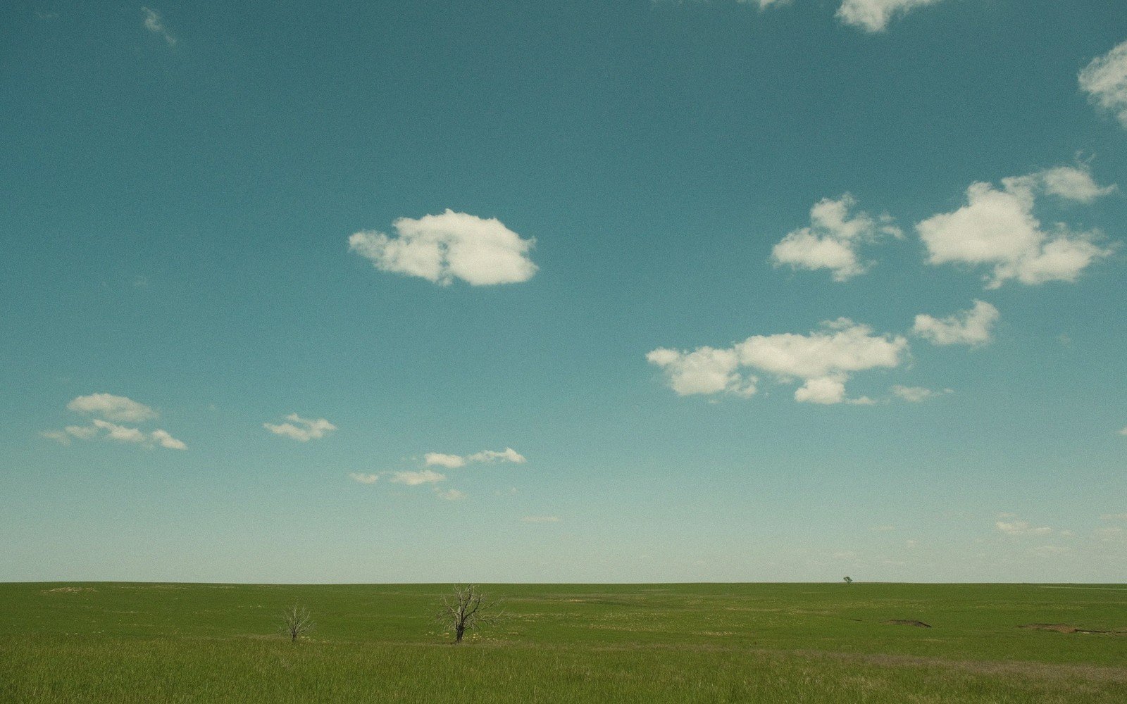
The best travel here is slow. A county road running east off US-281 north of Aberdeen will cross the coteau, dip into a slough margin, rise again past a shelter belt of old cottonwoods and reach a viewpoint — informal, undesignated, just a gravel apron where the road bends — that shows fifty miles of open ground under a sky that makes every other sky feel cramped. These are not marked on any visitor map. They are just South Dakota, doing what it does when nobody is looking at it.
Late May and early June are the best weeks: the wetlands are full, the grass is green and still growing, and the shorebird migration pushes through the potholes in numbers that make the eastern Dakotas one of the continent's significant birding corridors. By August the land has dried and yellowed, beautiful in a harder way. Winter simplifies everything to black and white — tree lines, fence lines, horizon — and the road can close.
Elevations, ages and distances here are approximate and given as published. Ground conditions change; the terrain descriptions do not.
04Ground named in this piece
Coteau des Prairies
Prairie & Coteau
elevated glacial plateau dominating northeast South Dakota, extending into North Dakota and Minnesota
James River
Prairie & Coteau
long, low-gradient prairie river running south through central South Dakota
Aberdeen
Prairie & Coteau
largest city in northern South Dakota; commercial hub of Brown County
Watertown
Prairie & Coteau
city on the eastern edge of the coteau in Codington County