01The Ground Lets Go
Winter releases South Dakota in stages, not all at once. The southern plains soften first — sometimes in late February, more reliably in March — while the northern Coteau holds frost weeks longer under its heavier snowpack. The Missouri corridor thaws somewhere in between, the river ice pulling away from the banks in panels before breaking into runs of plate ice that grind downstream past Chamberlain and Pierre.
What happens next depends on timing. A slow melt absorbed by receptive soil is one story. A fast melt on still-frozen ground is another: the water has nowhere to go but sideways, and the rivers take everything. When a late-March snowstorm drops additional moisture onto a landscape already at capacity, the creeks rise inside hours. Tributaries that are gravel traces in August become genuine hazards. Low-water crossings flood. Gumbo clay roads on the east-bank bluffs turn to something between paste and glue, impassable even for four-wheel drive.
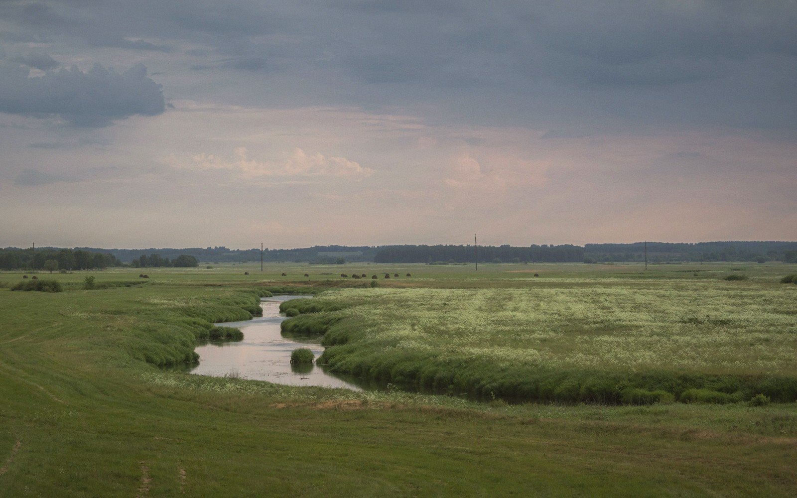
On the prairie and across the Coteau des Prairies, snowmelt pools in every depression before it can drain, recharging the potholes that were dry bowls in October. Migratory waterfowl read this from altitude — and they time their arrival accordingly.
A note on the ground
The descriptions here are general and given as published. Ground conditions change; the terrain descriptions do not.
02Ground named in this piece
Coteau des Prairies
Seasons
glacially elevated plateau across eastern South Dakota, holds frost longer than lower terrain
Chamberlain
Seasons
Missouri River town; key marker for spring ice-run observation
Pierre
Seasons
state capital on the Missouri; sits at a significant river-bluffs crossing