01Where the erosion begins
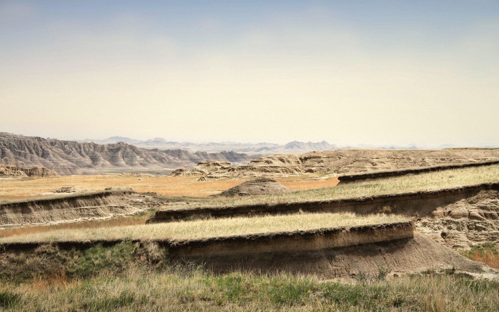
The transition announces itself before you expect it. You are driving east across mixed-grass prairie — bunchgrass, grama, the occasional yucca — and then the ground simply stops. Not gradually, not with much ceremony: the sod gives out at the lip of a wall that drops twenty, fifty, sometimes two hundred feet into a labyrinth of spires, gullies and eroded bentonite that holds almost nothing alive. That seam, where rooted ground meets unrooted geology, is the most instructive place in Badlands National Park to spend an hour on foot.
The formal trails get most of the attention, and they earn it. But the edge itself — the contact line between stabilized prairie and active erosion — rewards slower, less directed walking. The park's northern boundary, accessible from the Badlands Loop Road, offers the longest continuous stretch of this seam. Along the road between the Ben Reifel Visitor Center area and the Pinnacles Entrance, pullouts give repeated access to the rim. Each one shows you a slightly different cross-section of the same argument between grass and gravity.
By the numbers
02What holds the ground and what doesn't
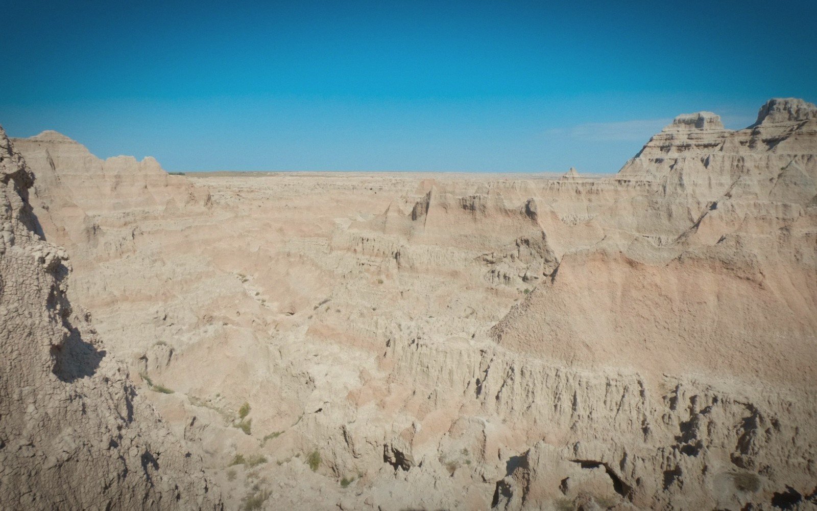
The prairie half of this equation is doing real work. A mat of western wheatgrass, buffalo grass and needlegrass binds the Pierre Shale and overlying Oligocene sediments against the wind and the rain. Where the roots hold, the land holds. Where they don't — at the rim, on the steeper exposures, wherever a crack or a seep undermines the surface — the Badlands' characteristic geology takes over. The White River Group sediments that built these formations are soft: mudstone, siltstone, volcanic ash layers compressed into claystones that swell when wet and crack when dry. Rain doesn't soak in; it runs fast, carrying fine particles with it. The formations you see are not ancient bedrock so much as fresh failure, running on a geologic clock that ticks in inches per year rather than centuries.
The formations you see are not ancient bedrock so much as fresh failure, running on a geologic clock that ticks in inches per year rather than centuries.
Standing at the rim, look at the soil profile directly below your feet. The thin, dark A-horizon of organic material — the prairie's own making, accumulated over thousands of years — terminates abruptly at the edge. A few centimetres below it, the pale, banded Badlands material begins, utterly different in color and structure. That contact is one of the sharpest boundaries in South Dakota geology, and you can step across it in a single stride.
03How to walk it
The edge is not technically difficult walking, but it demands attention. The rim is undercut in places — water works horizontally through the softer layers beneath the sod cap, hollowing small chambers that eventually collapse. Keep a body-length from the actual lip on any section that looks cracked or undermined. The grey-white bentonite clay becomes genuinely treacherous when wet: a slope that looks like packed earth after rain is something close to soap. Dry conditions are the right conditions.
The rewarding approach is to move parallel to the rim rather than across it — following the seam rather than repeatedly crossing it. From almost any pullout on the northern Loop Road, you can walk the edge for a quarter mile or more without a formal trail, navigating by the rim itself. The light matters enormously: early morning and late afternoon throw the formation walls into relief and turn the banded sediments — the dark manganese-stained layers, the pale ash beds, the rusty iron-oxide horizons — into something readable. Reading those bands from the bottom up is its own discipline; from the rim edge, you get the full vertical sequence at eye level, which no trail at formation-base quite replicates.
Watch the vegetation as you move. The transition zone immediately behind the rim often holds plants that tolerate edge conditions — skeleton weed, plains prickly pear, the occasional stand of silver sage — before the denser grass reasserts itself ten or twenty feet inland. This narrow belt of disturbed ground is also where the erosion advances: a wet spring, a bison trail too close to the edge, a concentrated rain event, and another foot of prairie disappears into the formations below. The process is continuous and unhurried, and you can see its current front by simply looking down.
04Practical ground notes
The park's backcountry — off established trails — is open to foot travel; the edge walking described here falls within that policy. Carry water: the formations provide no shade and reflect heat brutally through the middle hours of a summer day. Spring and fall give better light, cooler temperatures, and the wet-clay hazard is offset by predictable morning frost rather than standing rain. Winter walking, when the formation surfaces are frozen hard, is some of the most dramatic access the park offers — but check road and weather conditions before committing to the exposed rim in cold wind. The edge is always there; the conditions for reading it clearly are not.
Elevations, ages and distances here are approximate and given as published. Ground conditions change; the terrain descriptions do not.
05Ground named in this piece
Ben Reifel Visitor Center
The Badlands
main visitor facility on the Badlands Loop Road, northeastern park area
Badlands National Park
The Badlands
national park in southwestern South Dakota protecting the White River Badlands
Badlands Loop Road
The Badlands
primary paved road through the park's northern unit
Pinnacles Entrance
The Badlands
western entrance to the park's northern unit, near Wall